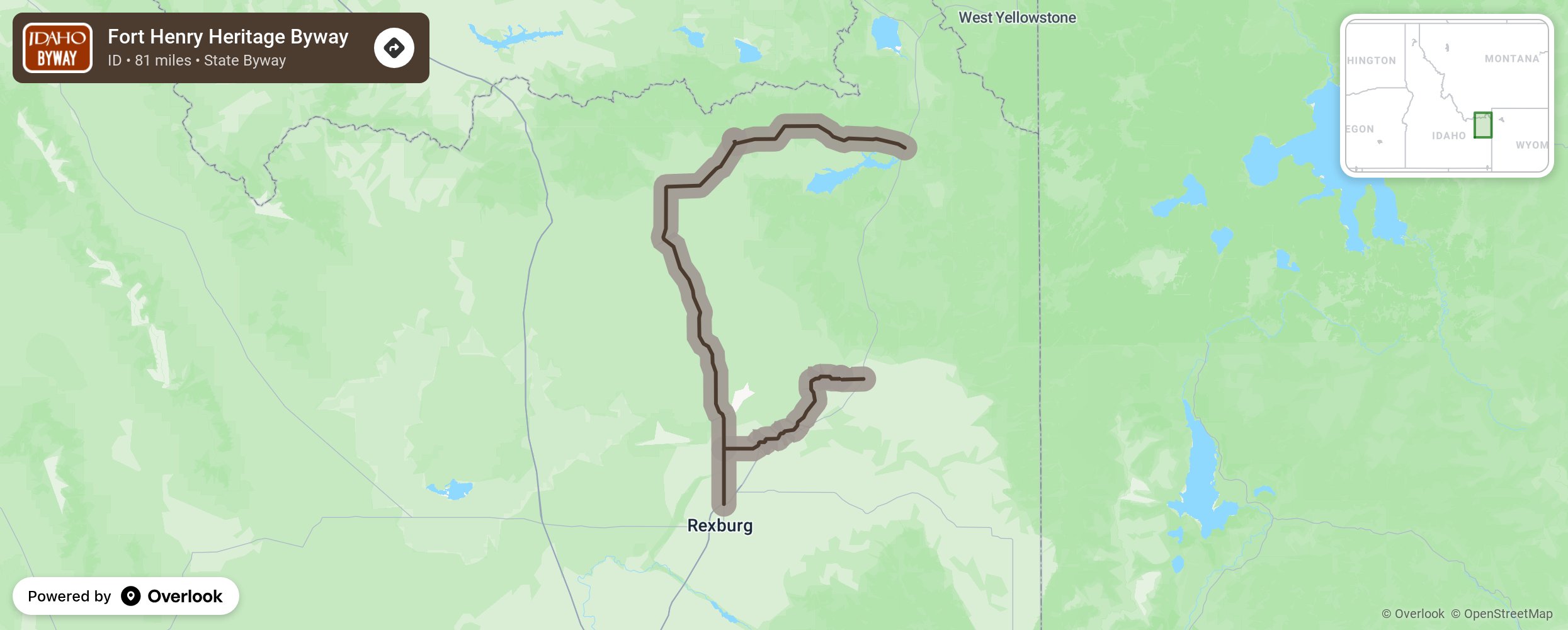
Fort Henry Heritage Byway

This byway follows Henry’s Fork of the Snake River and was named for the area’s first white settlement. Visit the Fort Henry Monument, St. Anthony Sand Dunes, Camas Meadows Battle Grounds, Targhee-Caribou National Forest, and the many historical ranches that dot the countryside. The area is great for wildlife viewing. As with all Idaho backcountry byways, fill up with gas, pack water and food, and take out what you bring in. Begin at North Rexburg at the US 20 Exit and take Salem Highway, Red Road. A2 before traveling back to US 20 near Island Park. More from National Scenic Byway Foundation →
Embed this map on your site
You are welcome to add this map to your own website for free, as long as you do so using the below code snippet in its entirety.
Please get in touch with us if you have any questions!
      <iframe src="https://overlookmaps.com/byways/id-fort-henry-historic-byway"></iframe>
    <a href="https://overlookmaps.com/">Map courtesy of Overlook Maps</a>