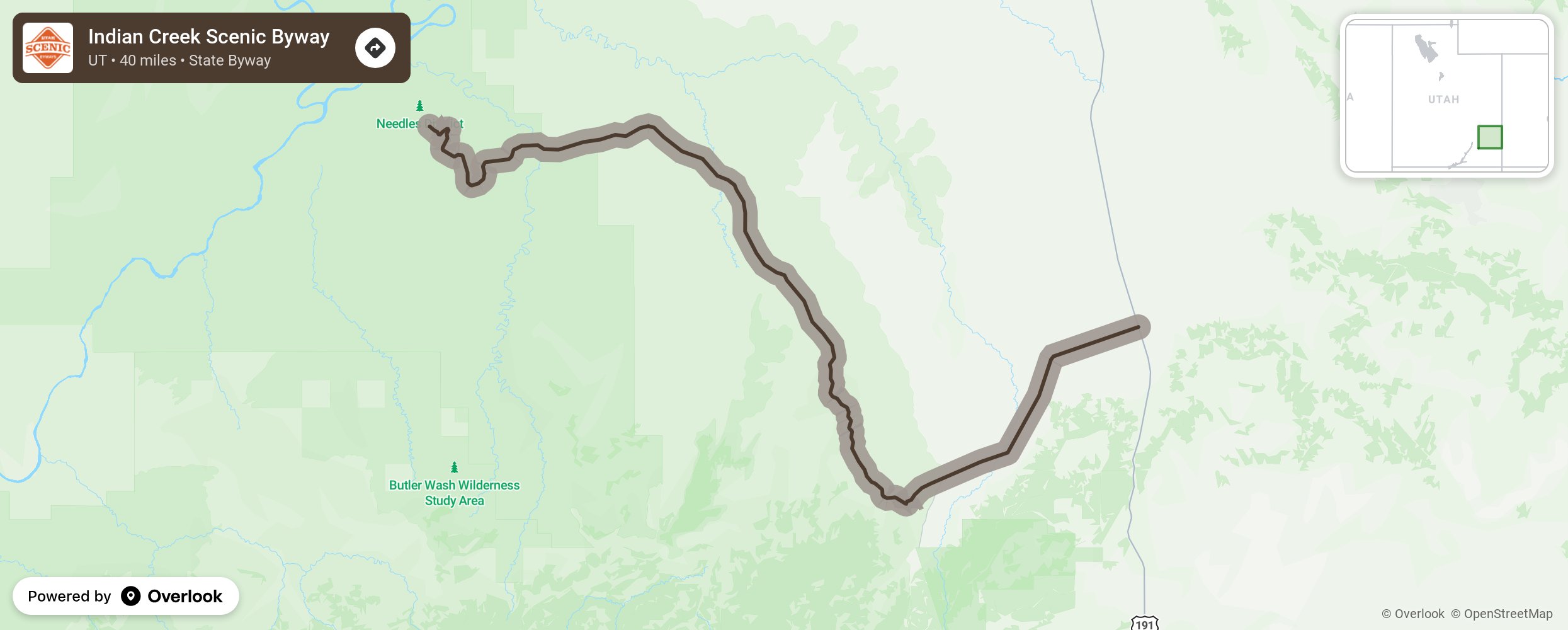
Indian Creek Scenic Byway

This byway follows the Indian Creek Canyon on State Route 211 traveling west across sage plains and through Photograph Gap. Switchbacks will take you deep into the canyon before opening out into a broad valley. There the byway takes a county road to the Abajo Mountains and Beef Basin. The byway ends at the Needles District of Canyonlands National Park. A nearby “must see” is just south of Moab on State Route 211- the Newspaper Rock State Historic Monument. It is easy to miss, but well worth the stop to see the huge rock covered with petroglyphs carved by Fremont, Navajo, Anasazi, and Pueblo people over 2,000 years ago. More from National Scenic Byway Foundation →
Embed this map on your site
You are welcome to add this map to your own website for free, as long as you do so using the below code snippet in its entirety.
Please get in touch with us if you have any questions!
      <iframe src="https://overlookmaps.com/byways/ut-indian-creek-corridor-scenic-byway"></iframe>
    <a href="https://overlookmaps.com/">Map courtesy of Overlook Maps</a>