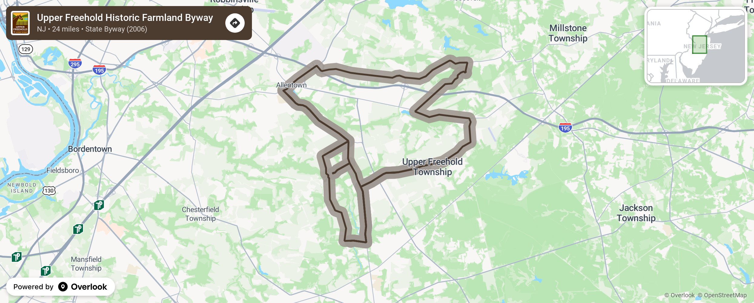
Upper Freehold Historic Farmland Byway

The Dutch, English, and French Huguenots were some of the earliest Europeans to make their homes in the area. During the Revolutionary War, the area was held by both the English and the Patriots at various times. Several skirmishes took place within the Byway corridor. Visit the Allentown and Imlaystown historic districts as you drive through pristine farmland and other picturesque towns. Many of the farms have been here for many generations and take their stewardship of the land seriously, preserving it for future generations and combining historic places with open spaces. Enjoy the Assunpink Wildlife Management Area, Clayton Park, Horse Park of New Jersey, two golf courses, and a winery located within the Byway corridor. More from National Scenic Byway Foundation →
Embed this map on your site
You are welcome to add this map to your own website for free, as long as you do so using the below code snippet in its entirety.
Please get in touch with us if you have any questions!
      <iframe src="https://overlookmaps.com/byways/nj-upper-freehold-historic-farmland-byway"></iframe>
    <a href="https://overlookmaps.com/">Map courtesy of Overlook Maps</a>