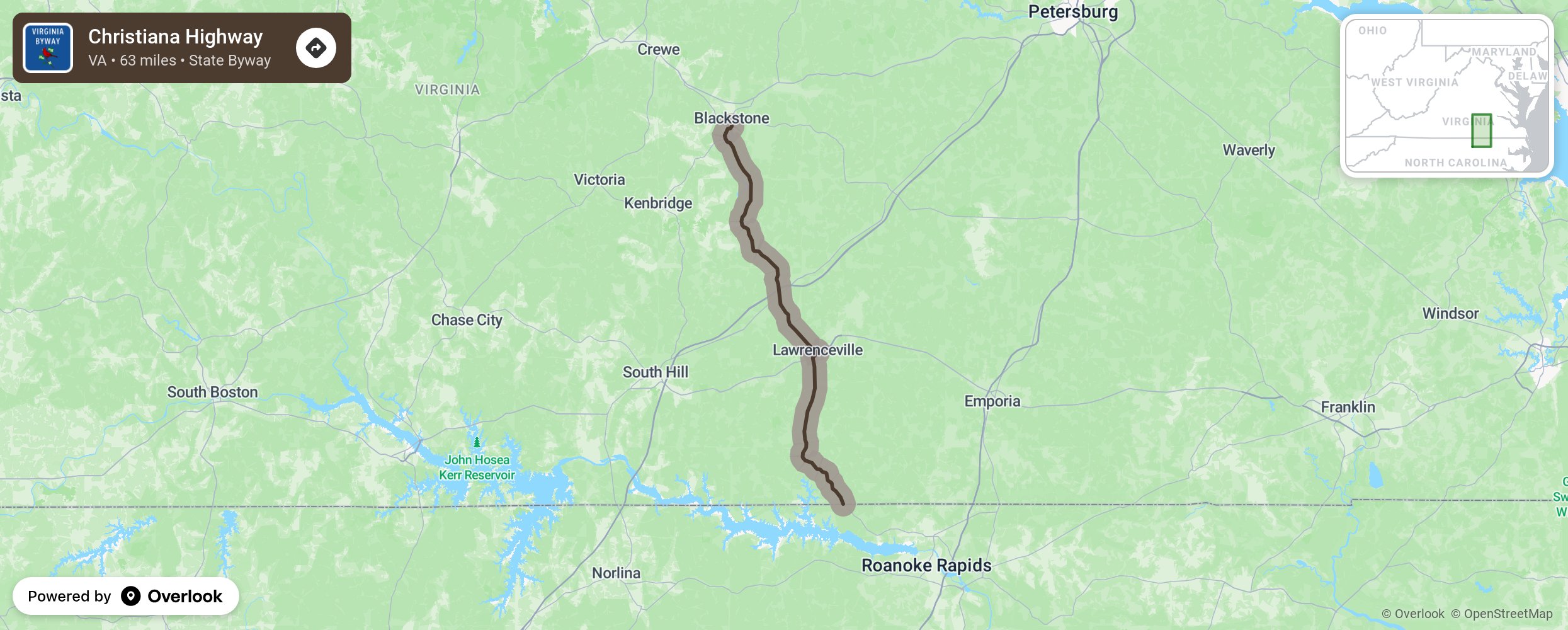
Christiana Highway

Travelers on the Christiana Highway (Highway 46) will travel from the North Carolina border, north through the communities of Brunswick, Lawrenceville, Danieltown, and end at Fort Picket and the Nottaway River. Between Brunswick and Lawrenceville, this route will take the traveler past the historic Fort Christiana. This fort was completed in 1714 and was the site of the first Swedish settlement in the New World. It was named for Queen Christiana of Sweden. For offseason information, contact 302-544-6363. More from National Scenic Byway Foundation →
Embed this map on your site
You are welcome to add this map to your own website for free, as long as you do so using the below code snippet in its entirety.
Please get in touch with us if you have any questions!
      <iframe src="https://overlookmaps.com/byways/va-christiana-highway"></iframe>
    <a href="https://overlookmaps.com/">Map courtesy of Overlook Maps</a>