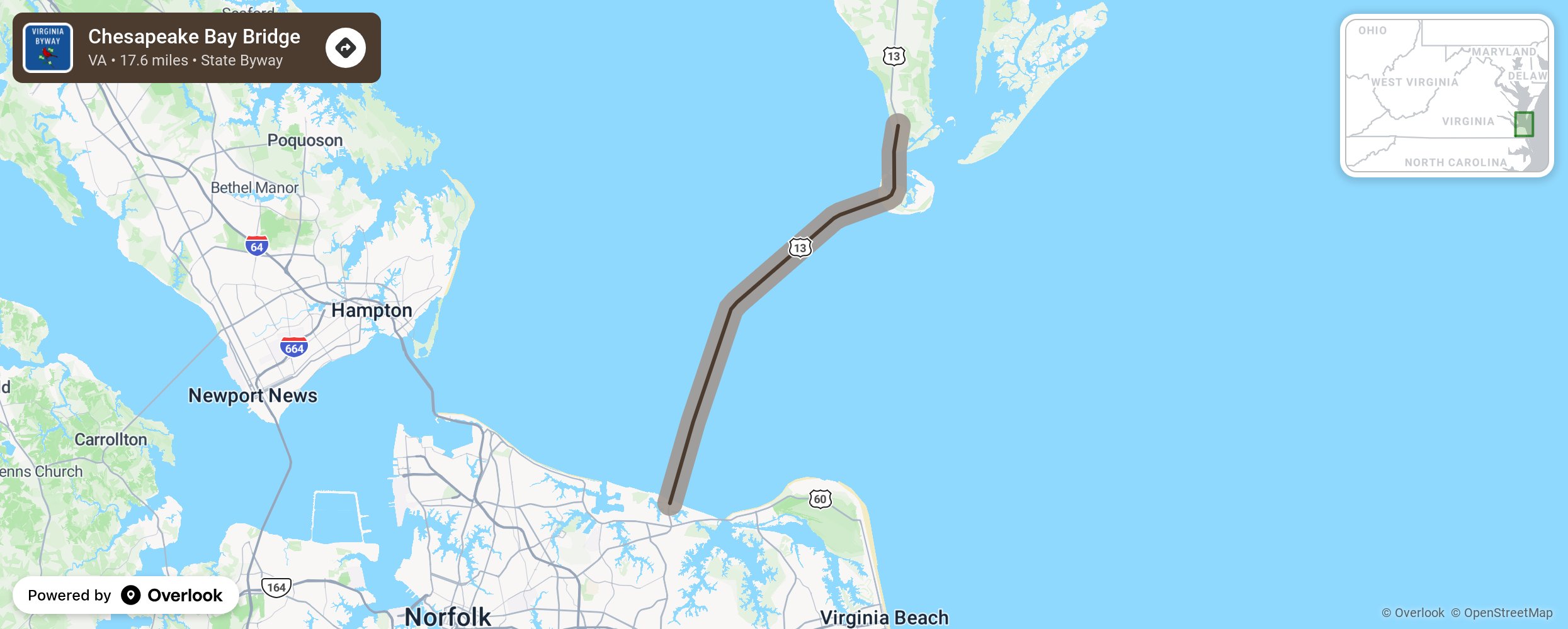
Chesapeake Bay Bridge

The Chesapeake Bay Bridge takes US 13 across 12 miles of bridges and 2 one-mile tunnel as it connects the Norfolk/ Chesapeake/Virginia Beach area to Northampton. This bridge is often confused with the Chesapeake Bay Bridge that crosses further north in Maryland, connecting Annapolis to Maryland’s eastern shore. Both bridges have tolls and the EZ Pass may be used or cameras taking photos will send the vehicle owner a ticket. There may be a discount for round trips. Virginia’s Chesapeake Bay Bridge completed the northbound route in April 1964 and the southbound in April 1999.Enjoy the outdoor activities at First Landing State Park and Kiptopeke State Park. Save time for the gift shop at Eastern Shores of VA National Wildlife Refuge. More from National Scenic Byway Foundation →
Embed this map on your site
You are welcome to add this map to your own website for free, as long as you do so using the below code snippet in its entirety.
Please get in touch with us if you have any questions!
      <iframe src="https://overlookmaps.com/byways/va-chesapeake-bay-bridge"></iframe>
    <a href="https://overlookmaps.com/">Map courtesy of Overlook Maps</a>