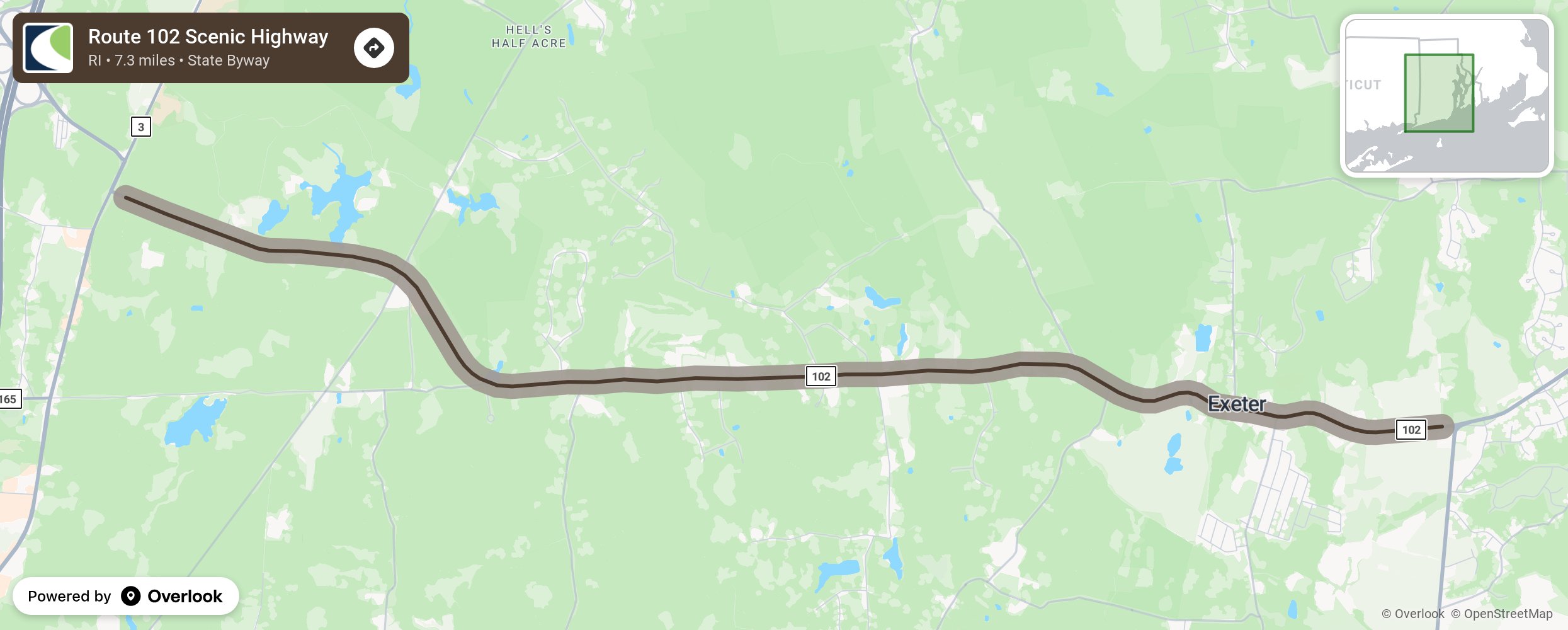
Route 102 Scenic Highway

Most of the highway follows the 18th century Ten Rod Road as it travels Exeter’s rolling topography. Elongated hills, running north and south are separated by narrow valleys. Some of the hills are the highest in Rhode Island. The woodland pastures are unspoiled by commercial development. Along the route are original stone walls and historic structures and site, two historic districts. The route c rosses five valleys with streams that make the headwaters of the Queen’s River watershed- Rhode Island’s most pure waterway. Stands of pine are interspersed with red maple in the valleys and wetlands. The hilltops give panoramic views of the valleys below. Traveling eastward, the forest areas give way to farmland and open spaces. More from National Scenic Byway Foundation →
Embed this map on your site
You are welcome to add this map to your own website for free, as long as you do so using the below code snippet in its entirety.
Please get in touch with us if you have any questions!
      <iframe src="https://overlookmaps.com/byways/ri-route-102-ten-rod-road"></iframe>
    <a href="https://overlookmaps.com/">Map courtesy of Overlook Maps</a>