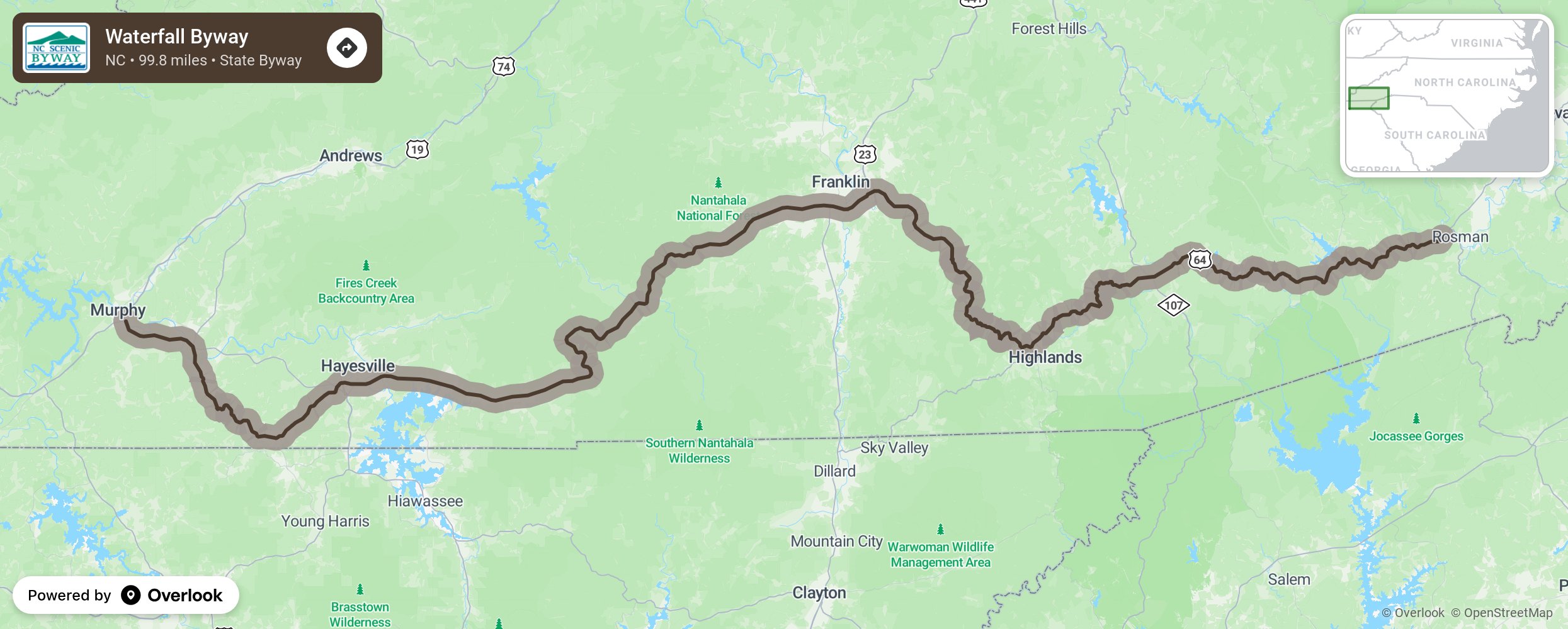
Waterfall Byway

The Waterfall Byway winds 98 miles through five of the state’s western-most counties and earns its name from the 200 waterfalls that surround the route. In fact, Transylvania County, where the byway begins, is known as the “Land of the Waterfalls” for the numerous waterfalls and trout streams that occur in the area. But this byway not only offers striking views of pristine mountain forests, lofty mountain ranges, and dramatic waterfalls, it also encompasses a vast amount of North Carolina’s rich heritage and history throughout several quaint mountain towns. More from National Scenic Byway Foundation →
Embed this map on your site
You are welcome to add this map to your own website for free, as long as you do so using the below code snippet in its entirety.
Please get in touch with us if you have any questions!
      <iframe src="https://overlookmaps.com/byways/nc-waterfall-byway"></iframe>
    <a href="https://overlookmaps.com/">Map courtesy of Overlook Maps</a>