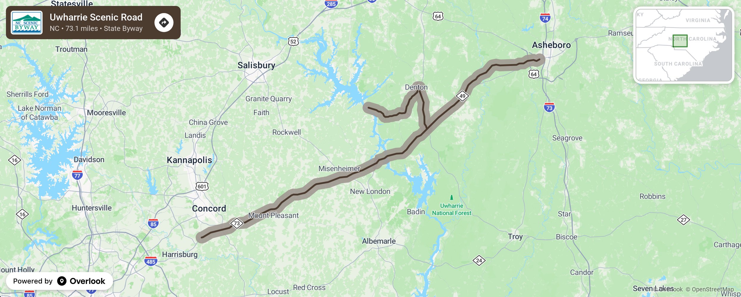
Uwharrie Scenic Road

The Uwharrie Scenic Road takes motorists through both the Uwharrie Mountains and the area known as the “Carolina Slate Belt” along NC 49 between Charlotte and Asheboro. At one point in time, many buildings and fences seen throughout these rolling hills were built from slate, a type of metamorphic rock. As motorists travel south through the Uwharrie National Forest, they will encounter the Uwharrie Mountains. These isolated peaks were formed several hundred million years ago by volcanoes and have survived erosion and weathering over many centuries. Uwharrie is believed to have originated from a Native American word meaning “rocky soil.” The federal government bought the Uwharrie National Forest in 1934 and designated it a national forest in 1961. It now covers approximately 51,000 acres in Randolph and Montgomery Counties and a small portion of Davidson County. Along this route the Uwharrie River flows into the Yadkin River near Morrow Mountain State Park to form the Pee Dee River. A variety of crops such as corn and winter wheat can be seen throughout this region. More from National Scenic Byway Foundation →
Embed this map on your site
You are welcome to add this map to your own website for free, as long as you do so using the below code snippet in its entirety.
Please get in touch with us if you have any questions!
      <iframe src="https://overlookmaps.com/byways/nc-uwharrie-scenic-road"></iframe>
    <a href="https://overlookmaps.com/">Map courtesy of Overlook Maps</a>