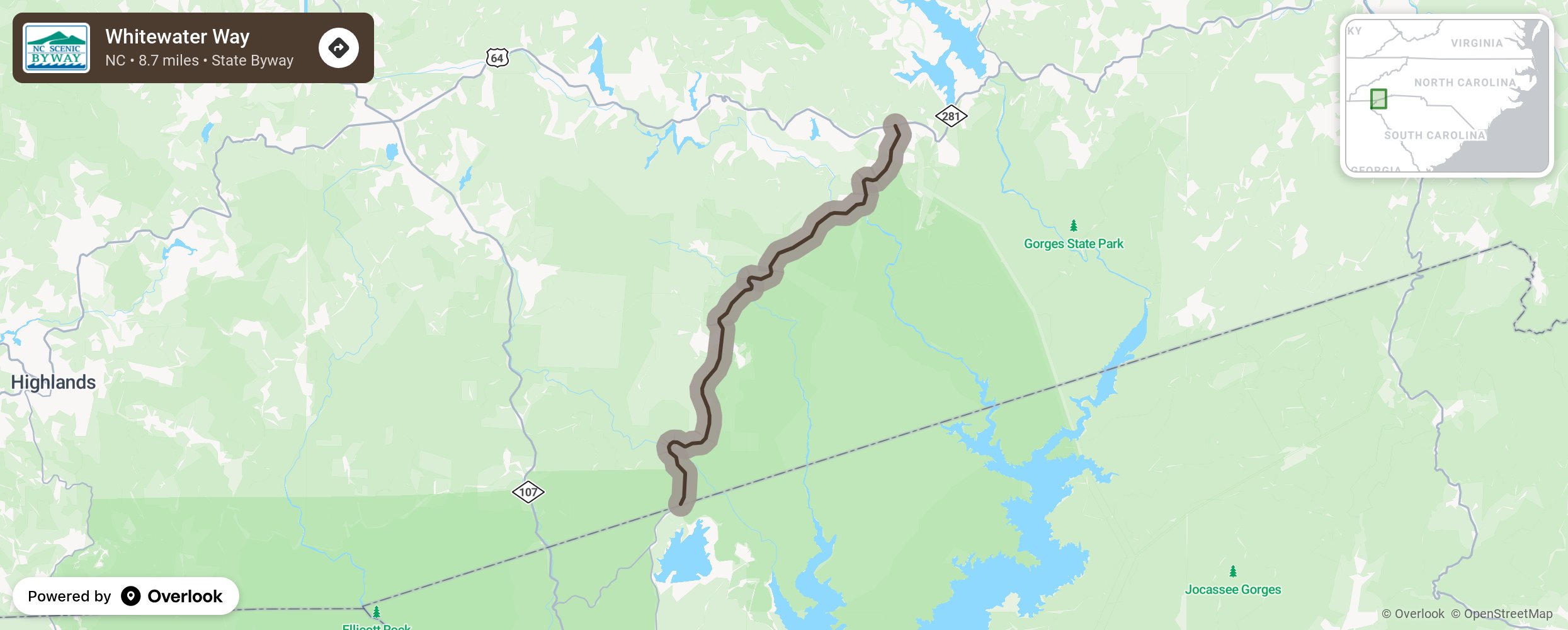
Whitewater Way

Whitewater Way provides motorists with access to some of the most beautiful waterfalls in the eastern United States. The route gets its name from Whitewater Falls, which at 411 feet, is the highest waterfall east of the Rocky Mountains and is a short easy trek from the byway. The descending, curvy, densely forested route passes by Gorges State Park, a highly recommended stop, and Upper Whitewater Falls before ending at the South Carolina state line. Also, while hiking the trails and viewing the waterfalls, close observers may spot a rare and beautiful plant called Shortia galacifolia (Oconee Bells), which is only found in the Appalachian Mountains and Japan. It grows from a slender single stem and blooms white or pink in late March or early April. More from National Scenic Byway Foundation →
Embed this map on your site
You are welcome to add this map to your own website for free, as long as you do so using the below code snippet in its entirety.
Please get in touch with us if you have any questions!
      <iframe src="https://overlookmaps.com/byways/nc-whitewater-way"></iframe>
    <a href="https://overlookmaps.com/">Map courtesy of Overlook Maps</a>