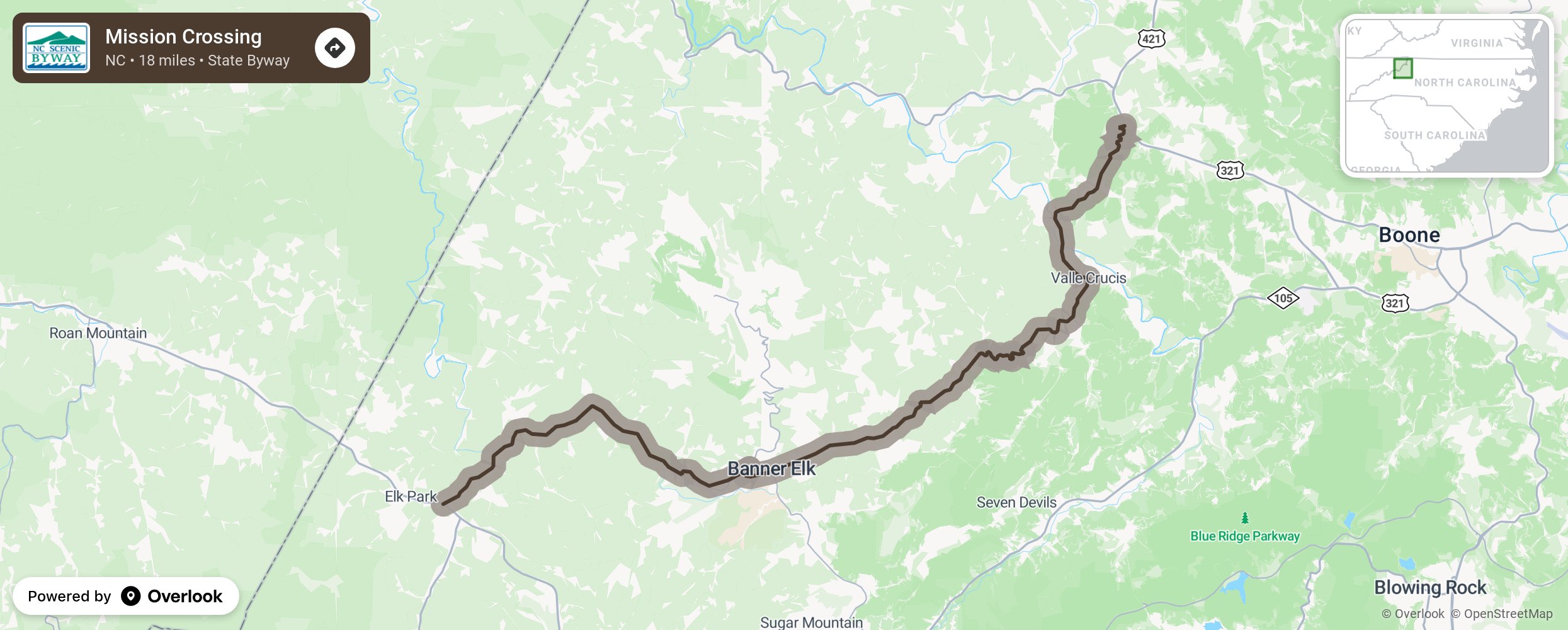
Mission Crossing

Mission Crossing byway guides motorists along NC 194 through North Carolina’s ski country and along the northern range of the Roan Mountains in Pisgah National Forest before descending into the Watauga River Valley, the name of which is derived from the Native American word for “beautiful water,” and ending in the community of Vilas. Before leaving the valley, be sure to visit the Mast Farm Inn and Mast General Store, an authentic general store that opened in 1882. The farm, established in 1812, is one of the best preserved 19th-century farms in Western North Carolina and is listed in the National Register of Historic Places. After leaving Valle Crucis, notice the unusual barn on the right while climbing out of the valley. The Baird Barn, built in the late 19th to early 20th century, is an excellent example of a transverse crib barn. More from National Scenic Byway Foundation →
Embed this map on your site
You are welcome to add this map to your own website for free, as long as you do so using the below code snippet in its entirety.
Please get in touch with us if you have any questions!
      <iframe src="https://overlookmaps.com/byways/nc-mission-crossing"></iframe>
    <a href="https://overlookmaps.com/">Map courtesy of Overlook Maps</a>