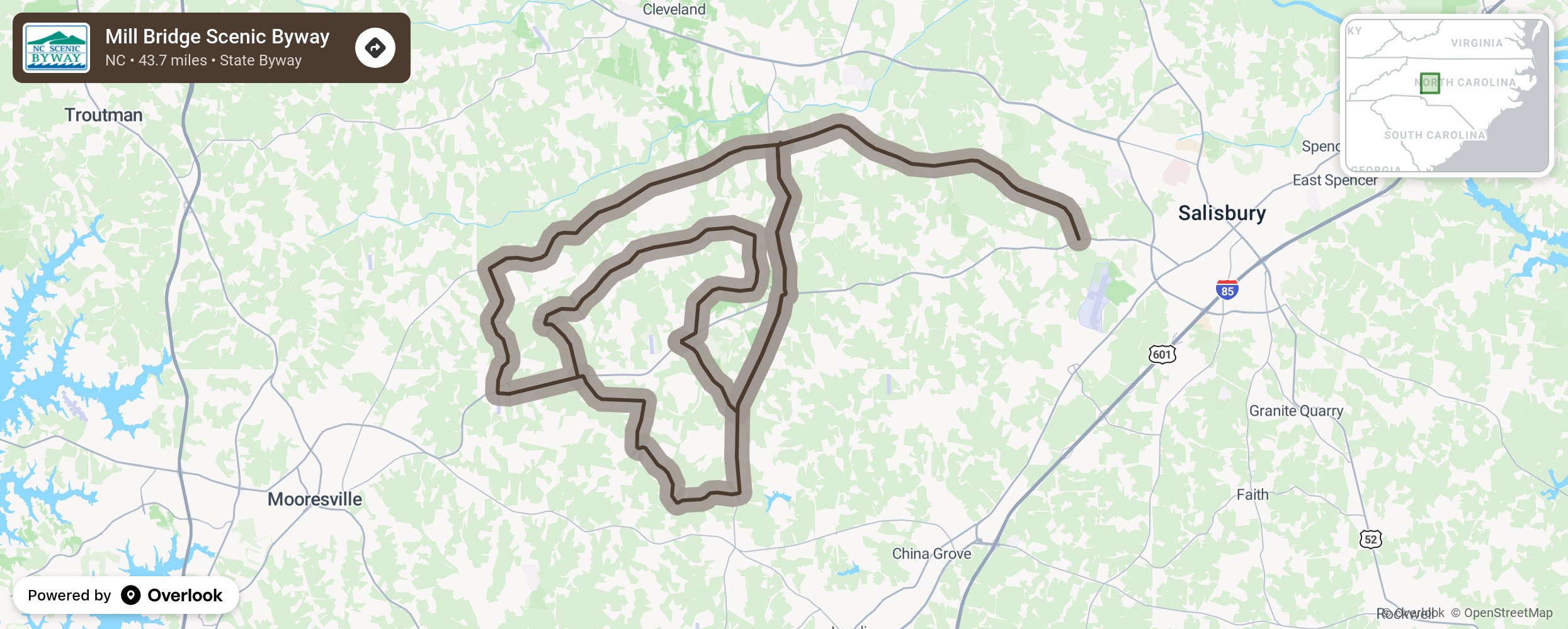
Mill Bridge Scenic Byway

Mill Bridge Byway is named for the flourmill built by Dr. Samuel Kerr in 1823. The Scotch-Irish settlement of Millbridge features Thyatira Church, one of North Carolina’s oldest Presbyterian churches. The route passes through land that has a rich history and long tradition of farming. With a population density of only about 50 people per square mile, this area is marked by open spaces, fields, streams, and working farms dotted with well-preserved historic homes, out buildings, and barns. Located along this stretch of road is the Piedmont Research Station, an agricultural research facility operated by North Carolina State University that includes study areas for dairy, poultry, field crops, and horticultural crops. More from National Scenic Byway Foundation →
Embed this map on your site
You are welcome to add this map to your own website for free, as long as you do so using the below code snippet in its entirety.
Please get in touch with us if you have any questions!
      <iframe src="https://overlookmaps.com/byways/nc-mill-bridge-scenic-byway"></iframe>
    <a href="https://overlookmaps.com/">Map courtesy of Overlook Maps</a>