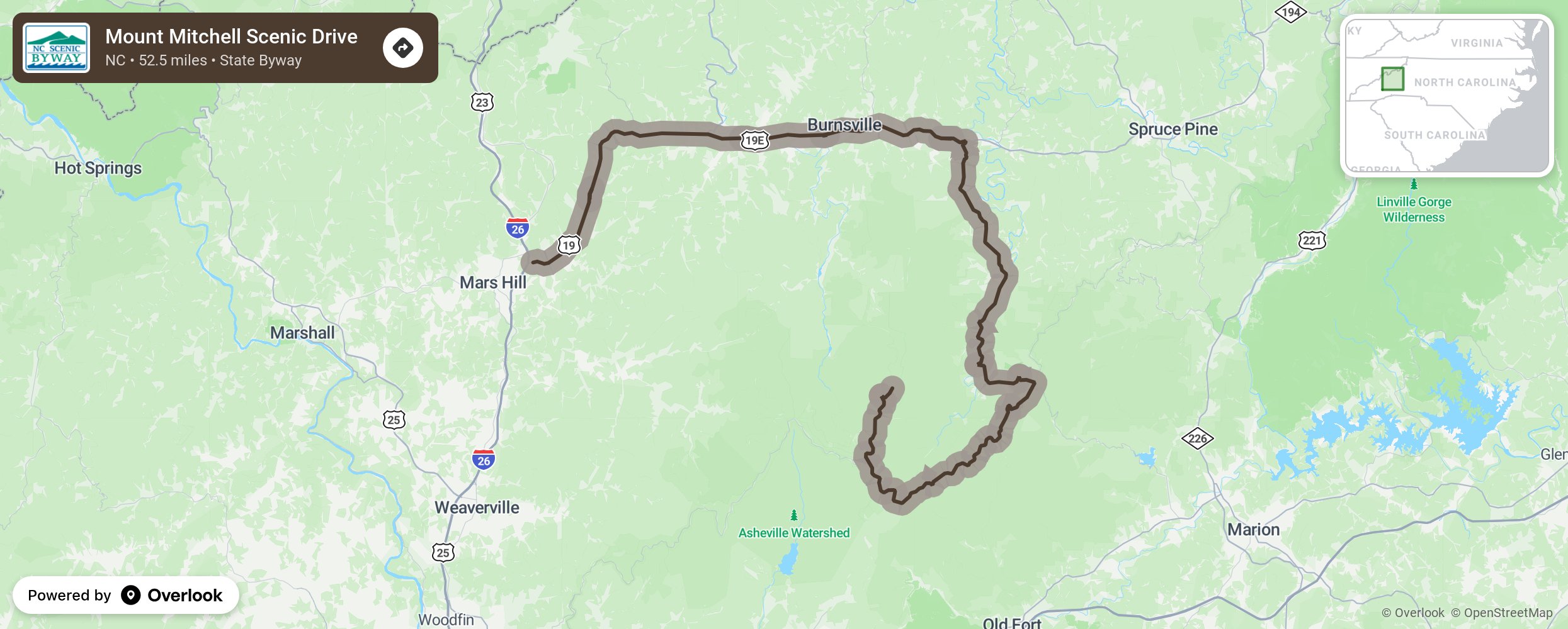
Mount Mitchell Scenic Drive

Every mile of the Mount Mitchell Scenic Drive is packed with exceptional vistas of natural and geological sights, boundless recreation opportunities, and rare glimpses into Appalachian mountain culture and history. The route is a natural outdoor classroom, encompassing everything from the East’s highest peaks to the historical Nu-Wray Inn, which was built in 1833 and still exemplifies mountain hospitality. As the byway winds nearly five miles through Mount Mitchell State Park, it provides a glimpse at the recreational opportunities offered by the park and the educational insights of this high mountain environment. As travelers descend the mountain and continue their trek along the Blue Ridge Parkway, they are presented with expanding vistas of the Black Mountains. Bear, deer, raccoon, turkey, fox, coyote, and many other animals may be seen by sharp-eyed observers. As a bird watcher’s paradise, the ecosystems found at these elevations provide opportunities to see birds of prey only found in more northern climates, such as the Peregrine Falcon and the Northern Saw-whet Owl. Eventually, the route will leave the Parkway and descend several thousand feet into the South Toe River Valley. The South Toe River drains the eastern slopes of the Black Mountains, which can be viewed by looking up and to the left from the valley floor. More from National Scenic Byway Foundation →
Embed this map on your site
You are welcome to add this map to your own website for free, as long as you do so using the below code snippet in its entirety.
Please get in touch with us if you have any questions!
      <iframe src="https://overlookmaps.com/byways/nc-mt-mitchell-scenic-drive"></iframe>
    <a href="https://overlookmaps.com/">Map courtesy of Overlook Maps</a>