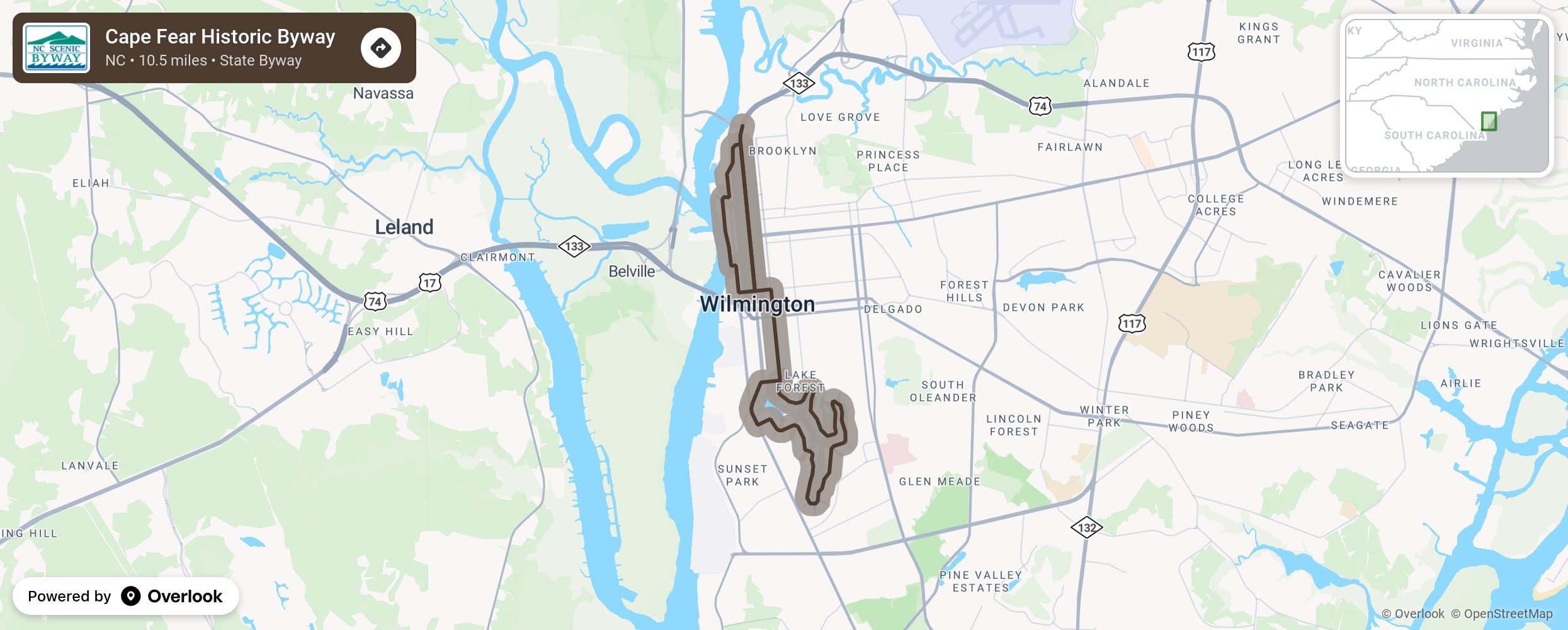
Cape Fear Historic Byway

The Cape Fear Historic Byway in downtown Wilmington guides motorists through one of the most scenic urban areas in the nation as it meanders alongside the tranquil Cape Fear River, down thriving colonial-era streets, and through the majestic Greenfield Park and Gardens. Known as the Port City, Wilmington was incorporated in 1739 and sits on a peninsula between the Cape Fear River and Atlantic Ocean. The city contains North Carolina’s richest collection of 19th century urban architecture and still maintains the original grid pattern finalized in 1743. Wilmington was built, for the most part, by commission merchants and prosperous businessmen who indulged themselves in the extravagances of the culture of the late 1800s. Today, the city is home to about 100,000 people and is the largest city on North Carolina’s coast. More from National Scenic Byway Foundation →
Embed this map on your site
You are welcome to add this map to your own website for free, as long as you do so using the below code snippet in its entirety.
Please get in touch with us if you have any questions!
      <iframe src="https://overlookmaps.com/byways/nc-cape-fear-historic-byway"></iframe>
    <a href="https://overlookmaps.com/">Map courtesy of Overlook Maps</a>