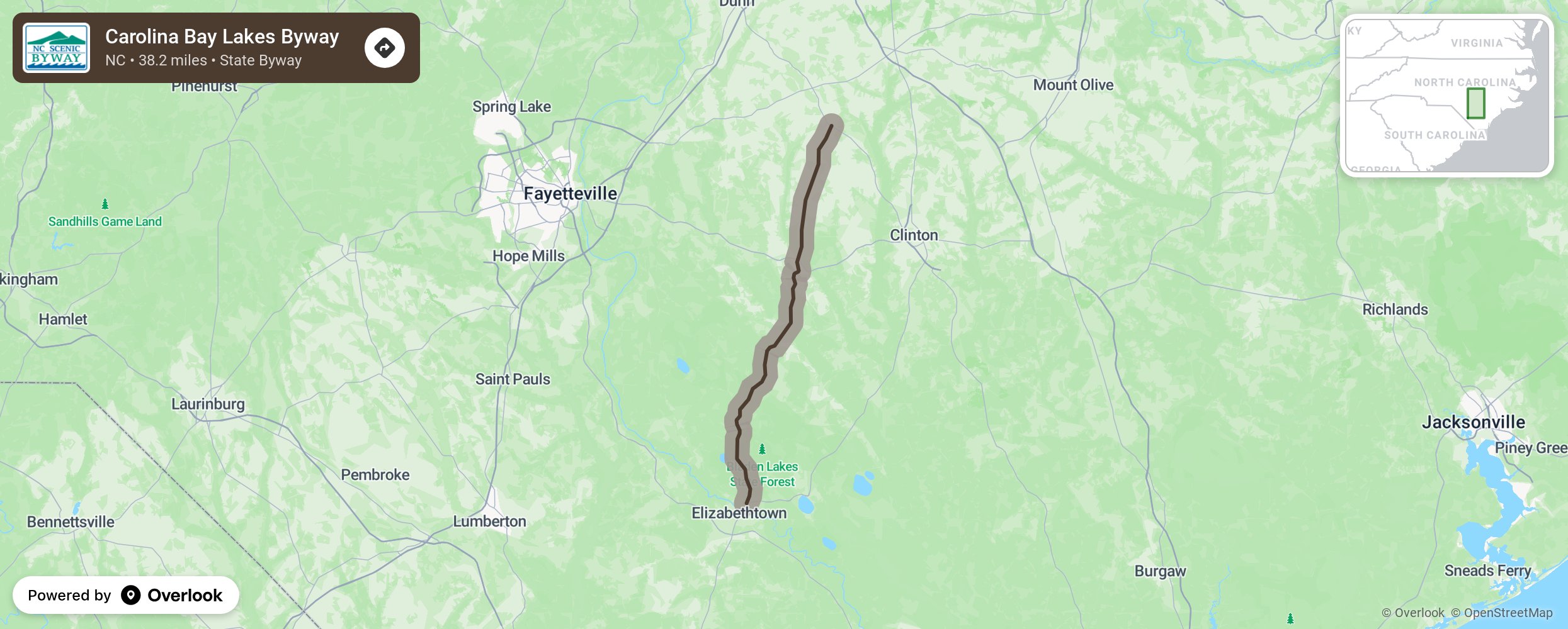
Carolina Bay Lakes Byway

The Carolina Bay Lakes Byway showcases North Carolina’s fertile farmlands beginning in Elizabethtown. This route features several lakes tucked along vast farmlands that have been an enigma for scientists and locals for many years. Jones Lake, White Lake, Singletary Lake, and Lake Waccamaw are all known as Carolina Bays. Once believed to have been formed by ancient meteor showers, these oval depressions have garnered the attention of scientists from all over for many years. Newer theories suggest that these pools were created from the wave motion of the ocean as it receded, and the perpetual winds blowing in one direction for long periods of time helped to create these elliptical shapes. No matter the theory, they have gathered water and decomposed organic material over many years to create the fertile farmlands that lay along this route today. More from National Scenic Byway Foundation →
Embed this map on your site
You are welcome to add this map to your own website for free, as long as you do so using the below code snippet in its entirety.
Please get in touch with us if you have any questions!
      <iframe src="https://overlookmaps.com/byways/nc-carolina-bay-lakes-byway"></iframe>
    <a href="https://overlookmaps.com/">Map courtesy of Overlook Maps</a>