Brunswick Town Road

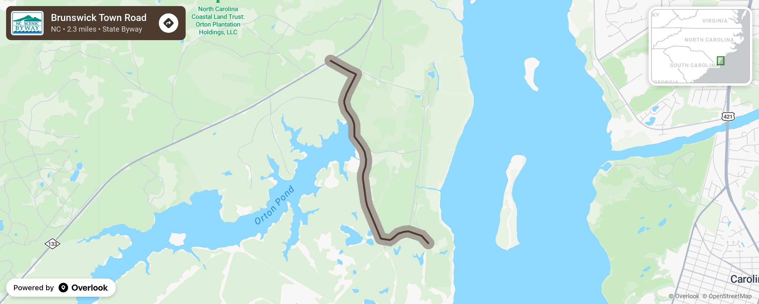
Brunswick Town Road may be one of the state’s shortest scenic byways, but it is rich in history. Shortly before the byway begins, motorists will cross Allen Creek, once known as Lilliput Creek for the plantation at its headwaters. Granted to Eleazar Allen in 1725, Lilliput Plantation was named for the imaginary country in Jonathan Swift’s book Gulliver’s Travels. Allen Creek joins the Cape Fear River near Orton Plantation, which was built around 1725 and overlooks the river at Orton Point. It was later owned by Royal Governor Benjamin Smith, who is buried nearby at St. Philip’s Anglican Church. Alligators can sometimes be seen sunbathing near the road at this point. The byway promptly ends at the Brunswick Town/Fort Anderson State Historic Site which was settled in 1725. In addition to being one of North Carolina’s primary colonial ports, it was home to royal Governors Arthur Dobbs and Benjamin Smith before the relocation of the royal governor to New Bern in 1770, and it was the county seat from 1764 to 1779. St. Philip’s Anglican Church was built here in 1751, and its ruins are surrounded by the Civil War bunkers of Fort Anderson. More from National Scenic Byway Foundation →
Embed this map on your site
You are welcome to add this map to your own website for free, as long as you do so using the below code snippet in its entirety.
Please get in touch with us if you have any questions!
      <iframe src="https://overlookmaps.com/byways/nc-brunswick-town-road"></iframe>
    <a href="https://overlookmaps.com/">Map courtesy of Overlook Maps</a>