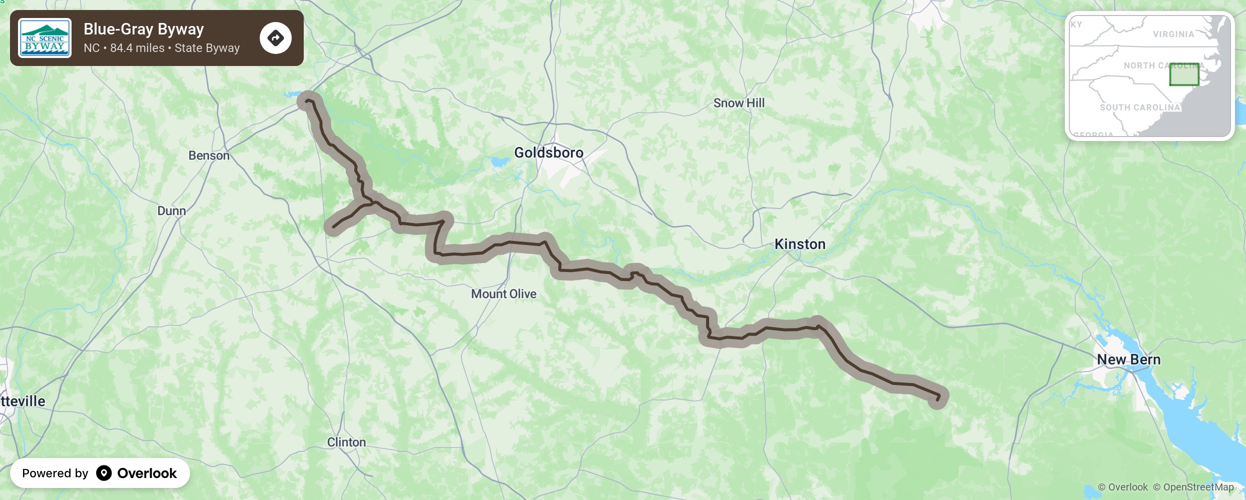
Blue-Gray Byway

The Blue-Gray Scenic Byway reflects the significant impact the Civil War, fought between 1861–1865, had on Eastern North Carolina. Travelers begin the byway by tracing the path of a local legend on Devils Racetrack Road. As folklore states, people traveling this road could once hear the footsteps of a horse carrying the devil as he rode through the area; however, no one has ever seen the horse or its rider. The route continues through Civil War battle sites, noted by the many historic markers along both sides of the road. Travelers will cross over several creeks and through an abundance of rich farmlands in this part of the Neuse River Basin. The fertile soil is the result of thousands of years of flooding and changing patterns of the river and creeks that flow nearby. Below the Neuse River, motorists will encounter a well-groomed gravel road that will take them by the Seven Springs Hotel. Now a privately-owned residence, this hotel was named for the surrounding mineral springs and was once the site of a Victorian resort that operated between 1881 and 1944. More from National Scenic Byway Foundation →
Embed this map on your site
You are welcome to add this map to your own website for free, as long as you do so using the below code snippet in its entirety.
Please get in touch with us if you have any questions!
      <iframe src="https://overlookmaps.com/byways/nc-blue-gray-byway"></iframe>
    <a href="https://overlookmaps.com/">Map courtesy of Overlook Maps</a>