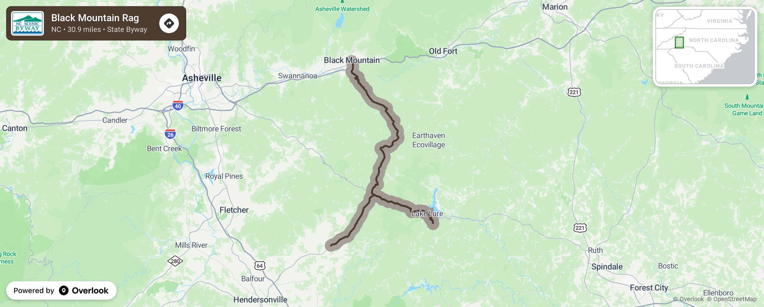
Black Mountain Rag

Earning its name from an old fiddle tune, the Black Mountain Rag, much like the traditional rag song style, is full of twists, turns, and ups and downs. The Black Mountains were deemed “black” because of the dark green foliage of the Lauda Firs that cover the mountainsides in this part of the state. Another interesting site near the byway is Mount Mitchell, which is the highest mountain east of the Mississippi River and may be reached from the nearby Blue Ridge Parkway. Along the sharp curves and hairpin turns of NC 9 lies the town of Bat Cave, which was aptly named for a nearby cave inhabited by these winged mammals. Towards the end of the route nearing Hendersonville, enjoy the beautiful masses of mountain laurel and some of North Carolina’s finest apple orchards. More from National Scenic Byway Foundation →
Embed this map on your site
You are welcome to add this map to your own website for free, as long as you do so using the below code snippet in its entirety.
Please get in touch with us if you have any questions!
      <iframe src="https://overlookmaps.com/byways/nc-black-mountain-rag"></iframe>
    <a href="https://overlookmaps.com/">Map courtesy of Overlook Maps</a>