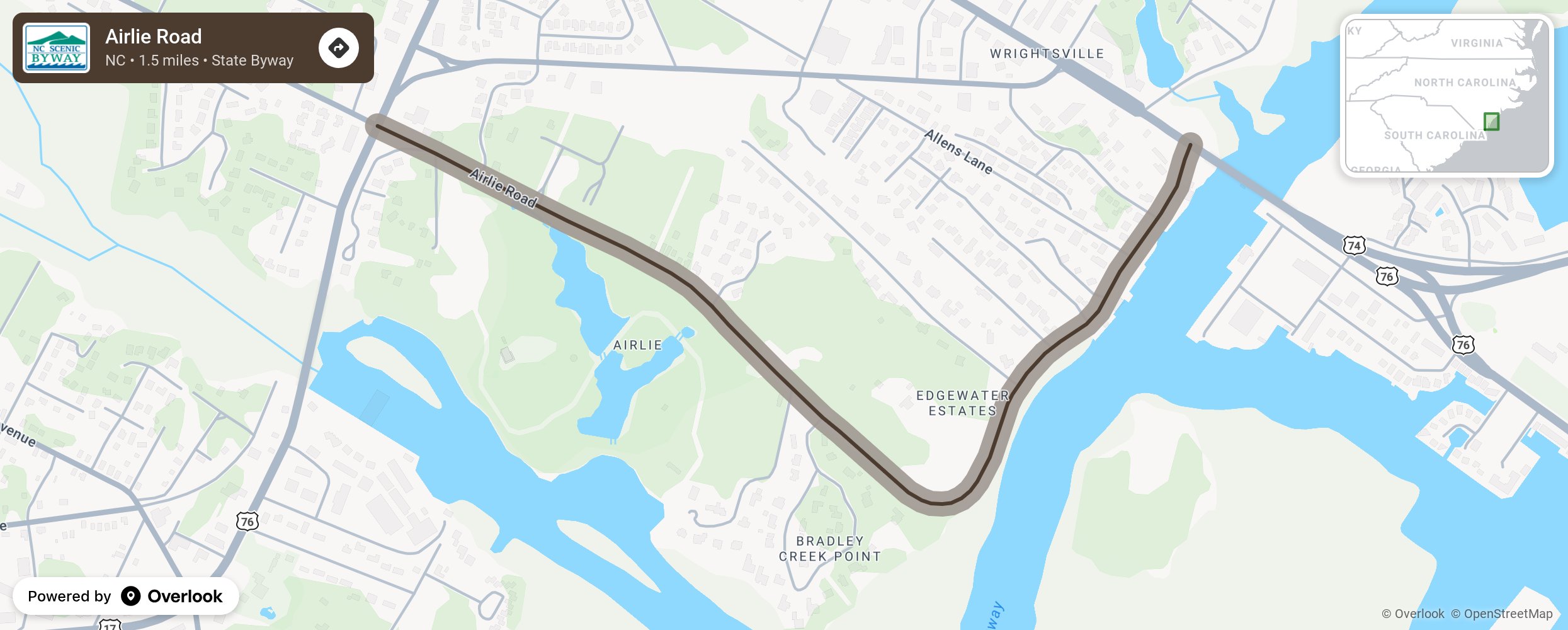
Airlie Road

Named for the historic homestead and gardens along the route, the byway guides travelers down an enchanting path draped with tall pines and Spanish moss-covered oaks and swiftly opens to a brilliant display of marsh grasses, boat docks, and the bright blue waters of Atlantic Intracoastal Waterway. Airlie Road provides more than just scenic beauty, it represents the history and uniqueness of the North Carolina coastal region. Along the way motorists should keep a look out for the many historic properties that helped shaped the Wrightsville area. Near the end of the byway, visitors will exit the tranquil canopy into the lively corridor of the Intracoastal Waterway, peppered with marinas, unique shops, and popular restaurants. Locals can be seen paddle boarding, canoeing, and boating down this active canal to grab a bite to eat and enjoy the scenery at some of the local seafood restaurants perched along the edge of the waterway. More from National Scenic Byway Foundation →
Embed this map on your site
You are welcome to add this map to your own website for free, as long as you do so using the below code snippet in its entirety.
Please get in touch with us if you have any questions!
      <iframe src="https://overlookmaps.com/byways/nc-airlie-road"></iframe>
    <a href="https://overlookmaps.com/">Map courtesy of Overlook Maps</a>