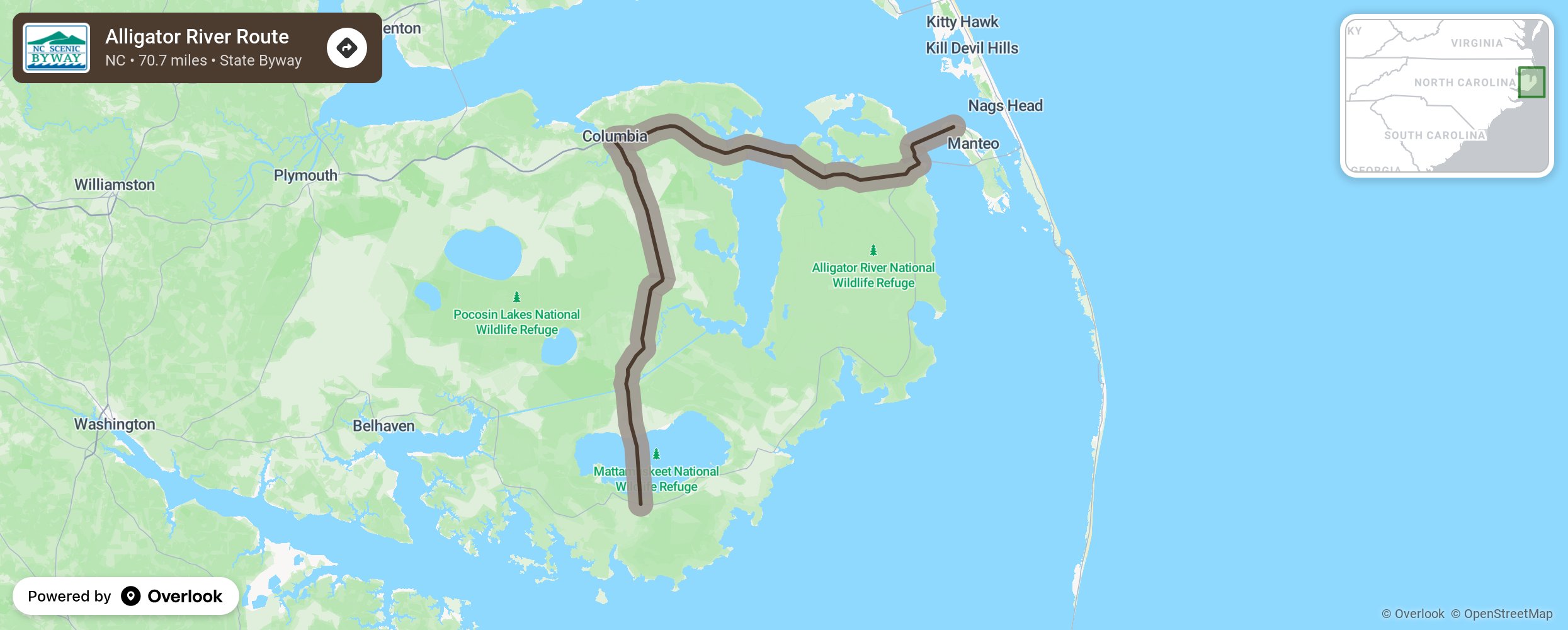
Alligator River Route

The Alligator River Route allows motorists to explore some of coastal North Carolina’s most rural areas as it travels through expansive wetlands and open farmlands. Motorists begin their excursion by crossing North Carolina’s largest natural lake, Lake Mattamuskeet, a 50,000-acre natural freshwater lake first visited by English explorers in 1585 during one of Sir Walter Raleigh’s expeditions. As travelers venture north from the lake, they will dive in and out of swamps and low farmlands from Fairfield to Columbia. An area of straight marsh or slough named the Big Savannah covers the area from Columbia to Alligator. When traveling through Alligator, keep an eye out for wildlife in or near the drainage canals bordering the Alligator River National Wildlife Refuge. The refuge was established to protect a unique pocosin habitat and restore wetlands for native and endangered species. Not only do travelers get to admire the abundant wildlife that inhabits the area, but they also get to visit and explore small towns and communities that are the embodiment of North Carolina’s rich history, such as Columbia, Mann’s Harbor, or Roanoke Island. More from National Scenic Byway Foundation →
Embed this map on your site
You are welcome to add this map to your own website for free, as long as you do so using the below code snippet in its entirety.
Please get in touch with us if you have any questions!
      <iframe src="https://overlookmaps.com/byways/nc-alligator-river-route"></iframe>
    <a href="https://overlookmaps.com/">Map courtesy of Overlook Maps</a>