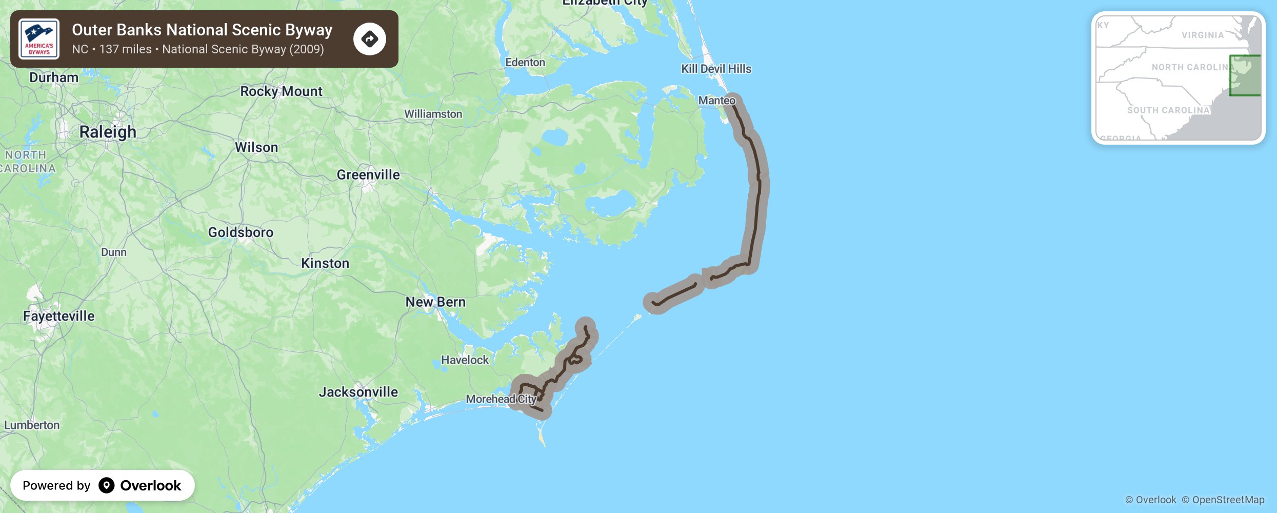
The Outer Banks National Scenic Byway traverses one of the nation’s great wild and scenic coastal landscapes encompassing the unique maritime culture of 21 coastal villages. The Byway follows the North Carolina coastline as it juts east into the Atlantic Ocean. The Byway stretches over 138 driving miles and 25 ferry-riding miles along barrier islands, Pamlico Sound and two inlets and through coastal villages.
More from National Scenic Byway Foundation →
Embed this map on your site
You are welcome to add this map to your own website for free, as long as you do so using the below code snippet in its entirety.