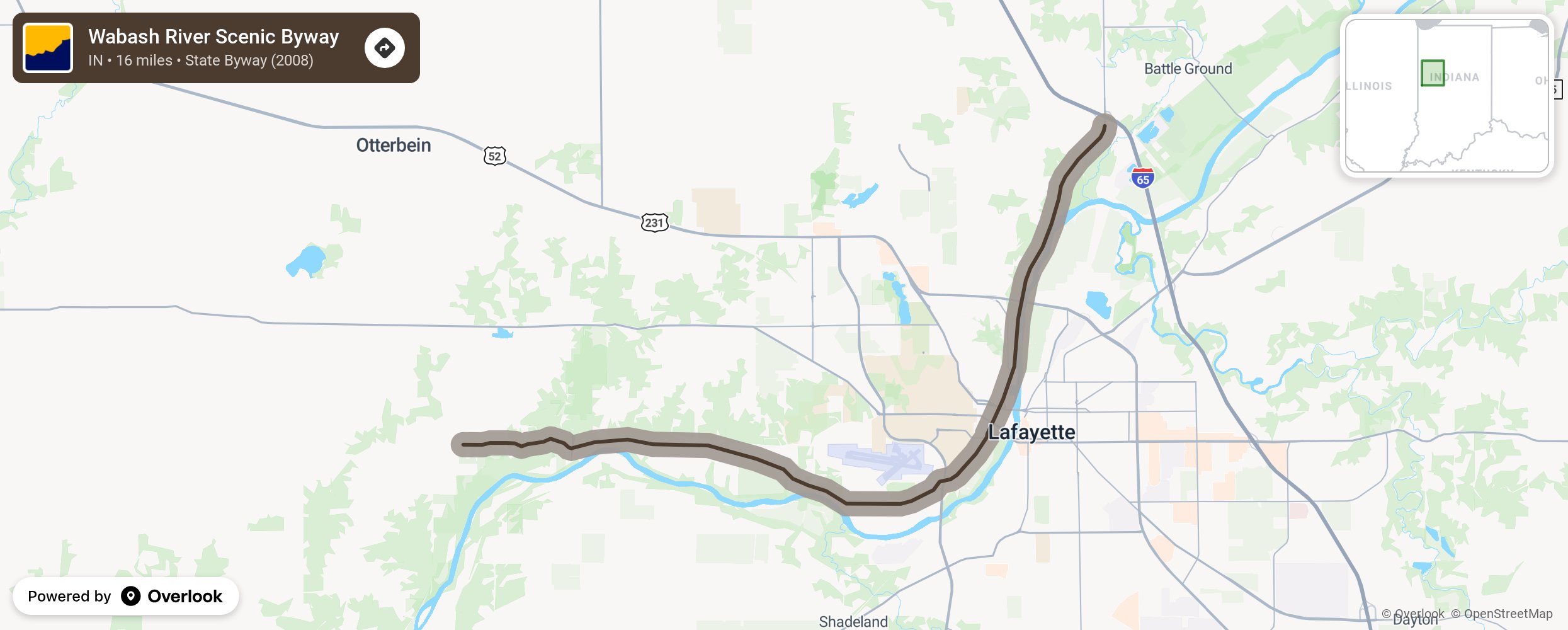
Wabash River Scenic Byway

This byway was designated in 2008 as the River Road Scenic Byway and was renamed the Wabash River Scenic Byway in 2016. It pays homage to the Wabash River and its 2.5-million-year history, combining geology, archaeology, anthropology, geopolitics, and ecology in its presentation to the public. This is Indiana’s newest byway and is located in western Indiana in Tippecanoe County. Start at the Lafayette-West Lafayette Visitor’s center before heading to Prophetstown State Park and Tippecanoe Battlefield Park to learn more of Indiana’s history and explore its natural beauty. More from National Scenic Byway Foundation →
Embed this map on your site
You are welcome to add this map to your own website for free, as long as you do so using the below code snippet in its entirety.
Please get in touch with us if you have any questions!
      <iframe src="https://overlookmaps.com/byways/in-wabash-river-scenic-byway"></iframe>
    <a href="https://overlookmaps.com/">Map courtesy of Overlook Maps</a>