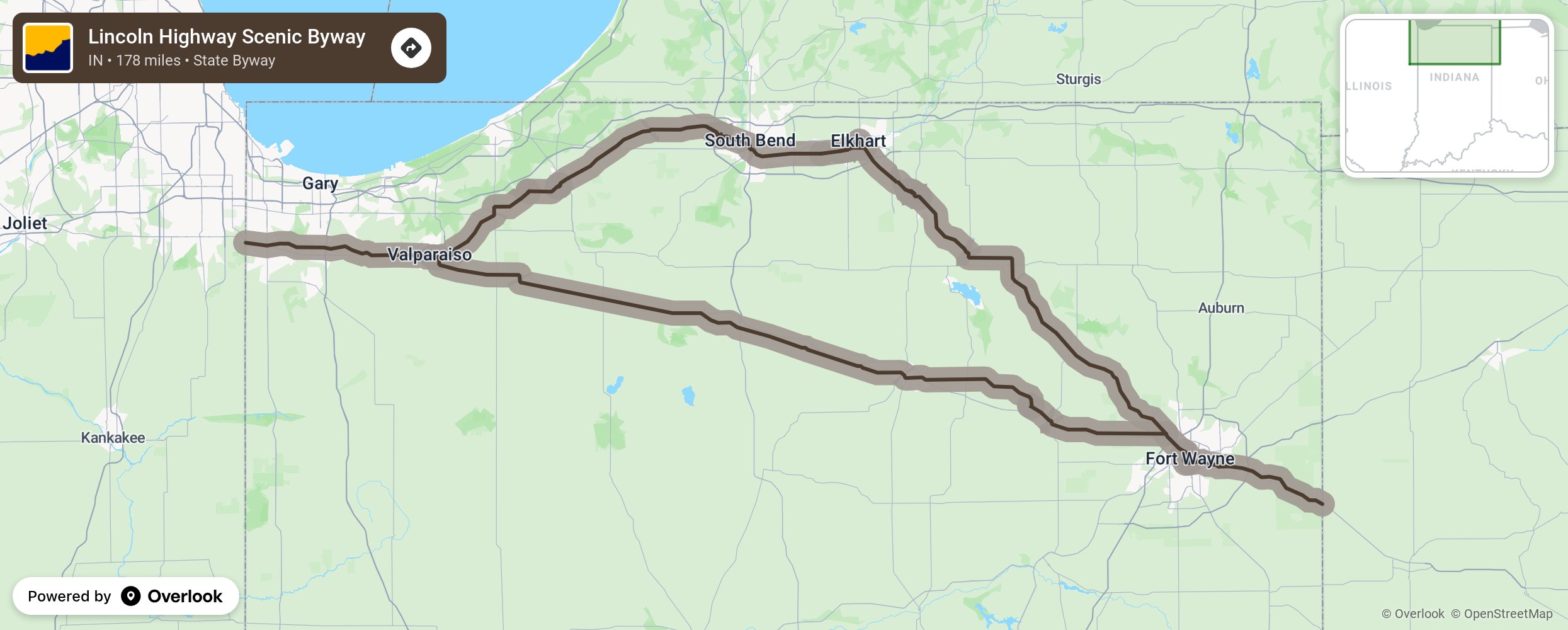
Lincoln Highway Scenic Byway

The Lincoln Highway links Indiana to New York and San Francisco. It was developed in 1913 as an idea of Carl Fisher’s to create a coast-to-coast highway, helping American travel in a new invention- the automobile- to see the country as never before. Traveling through the northern part of Indiana, the Lincoln Highway connects 29 communities including the cities of Fort Wayne and South Bend. Watch for concrete markers along the way, installed by Boy Scouts of America in 1928 to show the Lincoln Highway route across the nation. Indiana communities offer many historic structures, museums, eateries, and lodging options. Just outside of Ligonier look for the only brick portion of the Lincoln Highway left in Indiana- it’s marked “Old 33.” Stop at Fidler Pond to see the historical display kiosk. In Elkhart see the National New York Central Railroad Museum and the Elkhart Train Depot and see Notre Dame’s grotto just a few blocks off the Lincoln Highway in South Bend. Just outside of Dyer, stop to see the ”Ideal Section” of the Lincoln Highway. It was designed by Jens Jensen, a noted landscape architect in the 1910s as a blueprint of what roads of the future could look line. Park in the neighboring lot at 1160 Joliet St and walk to this must-see Lincoln Highway display and the Henry C. Ostermann Memorial Seat in honor of the first Field Secretary of the Lincoln Highway Association who passed away in 1920. More from National Scenic Byway Foundation →
Embed this map on your site
You are welcome to add this map to your own website for free, as long as you do so using the below code snippet in its entirety.
Please get in touch with us if you have any questions!
      <iframe src="https://overlookmaps.com/byways/in-the-indiana-lincoln-highway-byway"></iframe>
    <a href="https://overlookmaps.com/">Map courtesy of Overlook Maps</a>