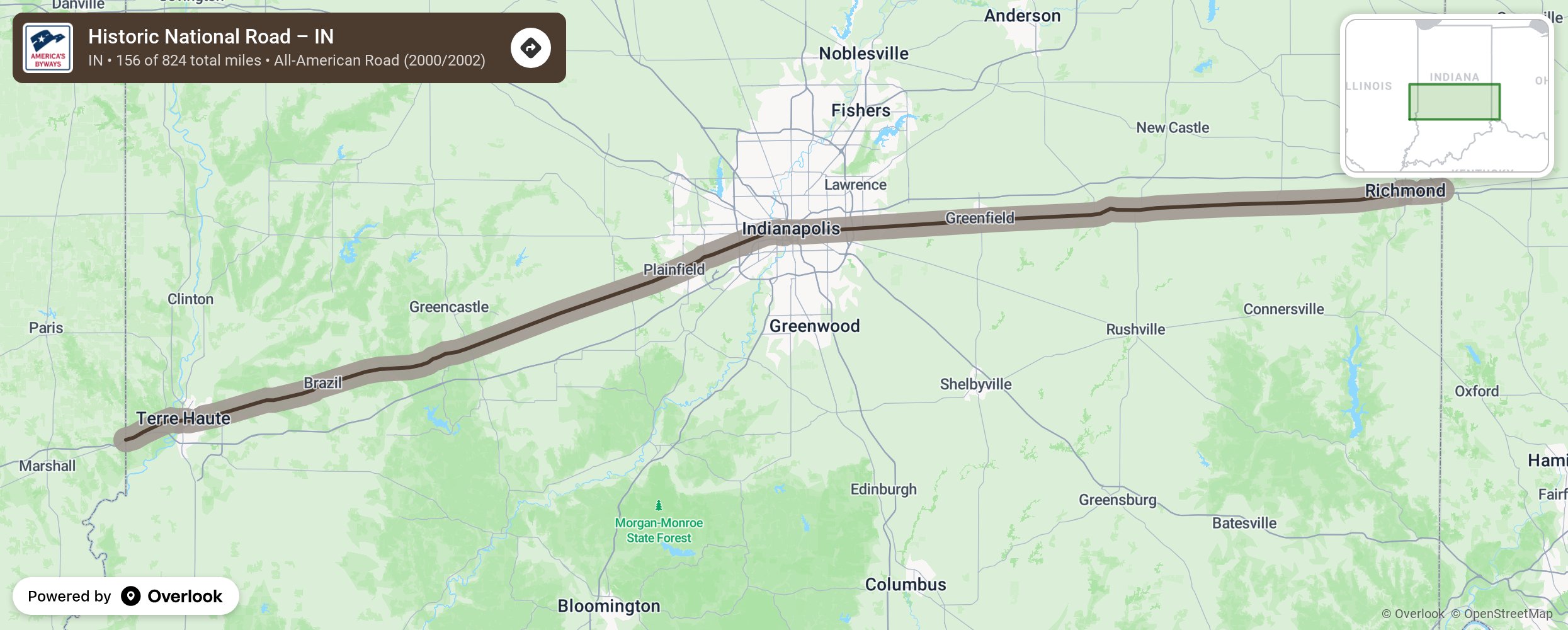
Historic National Road – IN

The National Road (also known as the Cumberland Road) was the first major improved highway in the U.S. built by the federal government between 1811 and 1837. The 620-mile road connected the Potomac and Ohio Rivers and was a main transport path West for thousands of settlers.people. Today, visitors experience a physical timeline, including classic inns, tollhouses, diners, and motels that trace 200 years of American history. More from National Scenic Byway Foundation →
Embed this map on your site
You are welcome to add this map to your own website for free, as long as you do so using the below code snippet in its entirety.
Please get in touch with us if you have any questions!
      <iframe src="https://overlookmaps.com/byways/in-historic-national-road-indiana"></iframe>
    <a href="https://overlookmaps.com/">Map courtesy of Overlook Maps</a>