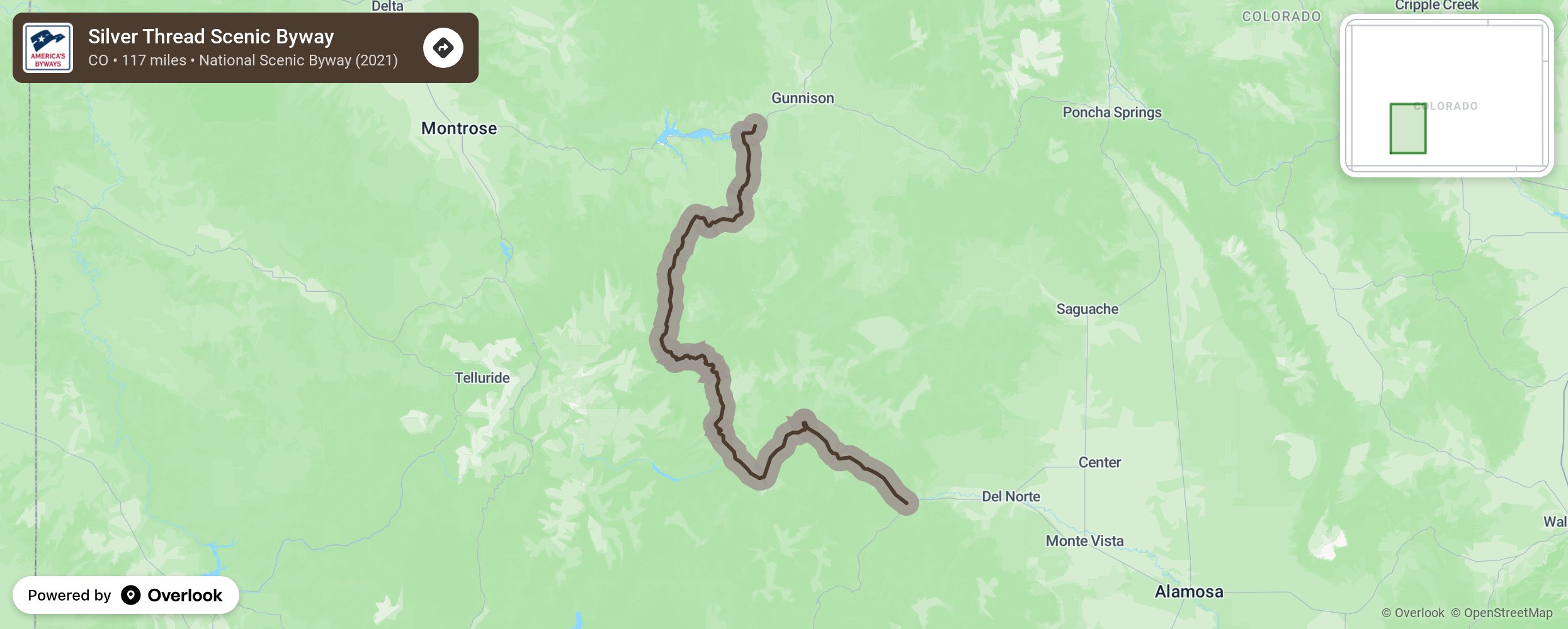
Silver Thread Scenic Byway

The colorful old mining camps of the Silver Thread offer history, scenic beauty, and a heavy dose of authenticity. The heights around Creede and Lake City remain strewn with abandoned mining structures, most of them accessible via rugged backcountry roads. Between the two towns, Highway 149 shadows the upper reaches of the Rio Grande, serving up a bounty of natural wonders - sparkling North Clear Creek Falls, the Slumgullion earth slide, and the shark-like fin of Uncompahgre Peak. These mountains can be unforgiving: In 1848 explorer John C. Fremont lost a third of his men - and a quarter of a century later the infamous Alfred Packer cannibalized his companions - in two ill-fated winter expeditions. More from National Scenic Byway Foundation →
Embed this map on your site
You are welcome to add this map to your own website for free, as long as you do so using the below code snippet in its entirety.
Please get in touch with us if you have any questions!
      <iframe src="https://overlookmaps.com/byways/co-silver-thread-scenic-byway"></iframe>
    <a href="https://overlookmaps.com/">Map courtesy of Overlook Maps</a>