Santa Fe Trail National Scenic Byway

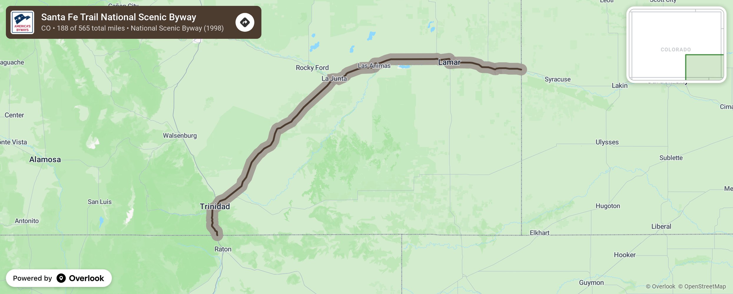
One of America's first great trade routes, the Santa Fe Trail was critical to our country's westward expansion. Visit historic sites and landmarks like Bent's Fort, Trinidad, Raton Pass, Cimarron, Fort Union, Pecos, Point of Rocks, and Santa Fe. Enjoy spectacular scenery, from rugged mountains to the plains. Colorado's Santa Fe Trail Scenic & Historic Byway winds its way along one of the last strongholds of the nomadic Plains Indians and the path of early Anglo-American pioneers. The Mountain Branch of the Santa Fe Trails enters what is now Colorado just east of Holly CO and follows the Arkansas River to Bent's Old Fort, now a National Historic Site. From Bent's Old Fort the route travels along the current US Highways 50 and 350 to Trinidad and then on to Raton Pass into New Mexico, using the same mountain gap used by Native Americans for centuries. More from National Scenic Byway Foundation →
Embed this map on your site
You are welcome to add this map to your own website for free, as long as you do so using the below code snippet in its entirety.
Please get in touch with us if you have any questions!
      <iframe src="https://overlookmaps.com/byways/co-santa-fe-trail-scenic-and-historic-byway-colorado"></iframe>
    <a href="https://overlookmaps.com/">Map courtesy of Overlook Maps</a>