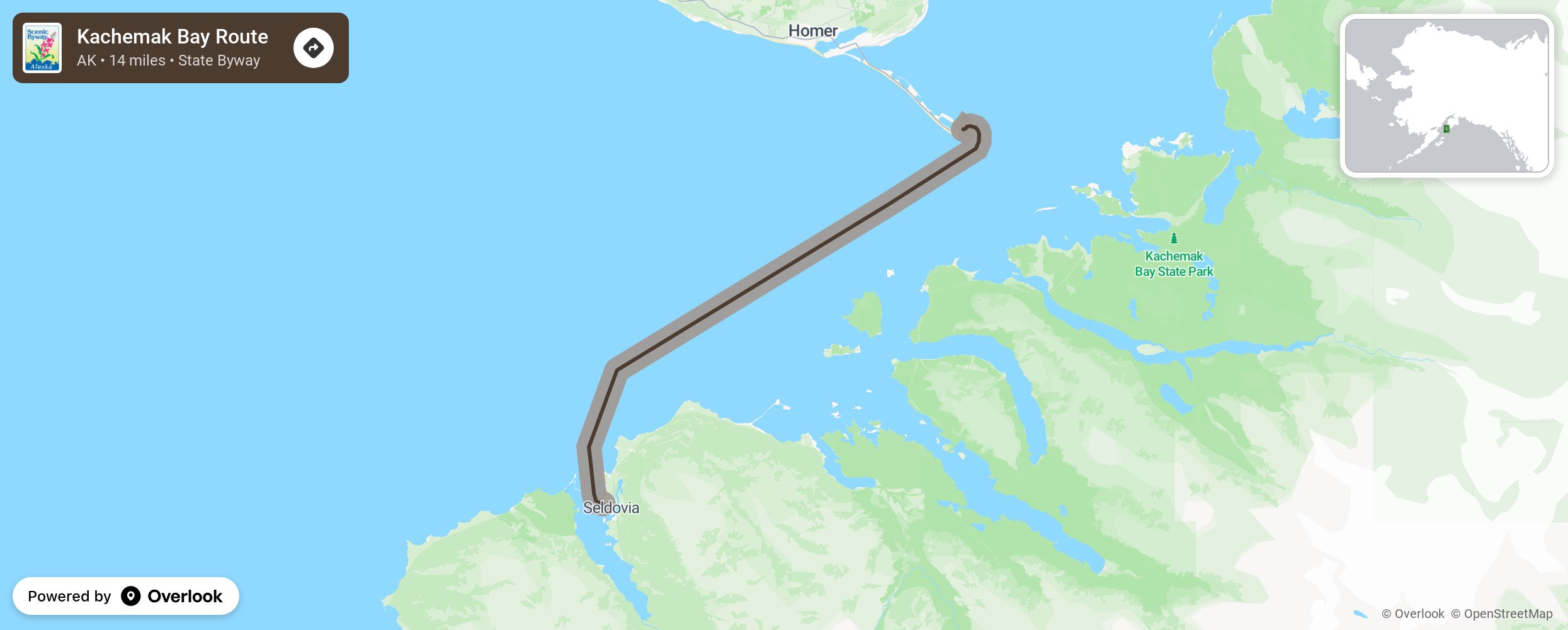
Kachemak Bay Route

From the snow-capped mountains and glaciers to the south, to the thick spruce forests growing right to the beach, to the network of hidden waterways with trails leading to undisturbed areas of wilderness the visitor will find breathtaking views of volcanoes, jagged cliffs and sculpted rock formations that are home to rookeries and nests, and photo opportunities for sea lions and sea otters. The waterways are diverse as well from surf crashing at Homer Spit to the quiet waters at Seldovia Bay. The stunning beauty is at hand at every turn. More from National Scenic Byway Foundation →
Embed this map on your site
You are welcome to add this map to your own website for free, as long as you do so using the below code snippet in its entirety.
Please get in touch with us if you have any questions!
      <iframe src="https://overlookmaps.com/byways/ak-kachemak-bay-route"></iframe>
    <a href="https://overlookmaps.com/">Map courtesy of Overlook Maps</a>