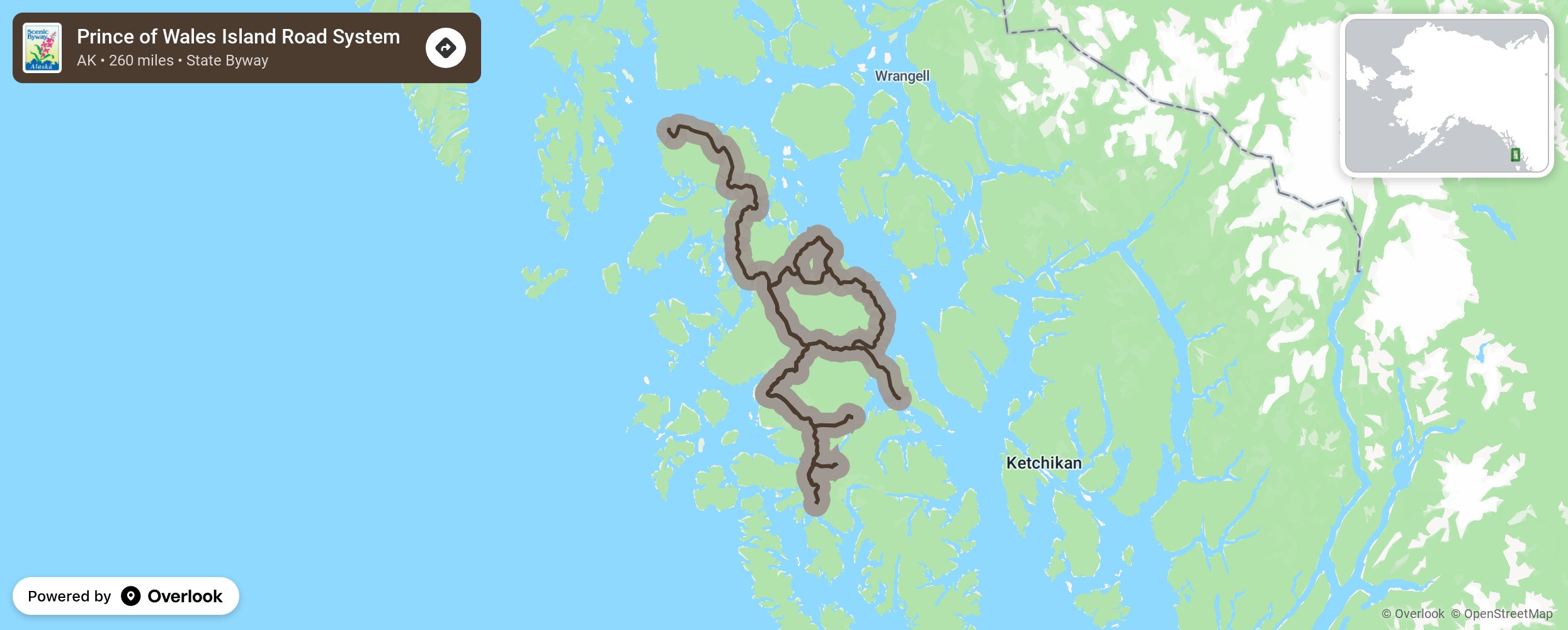
Prince of Wales Island Road System

The Prince of Wales Island is located 600 miles north of Seattle, Washington and can be reached via the Inter-Island Ferry Authority. There is more than 1,500 miles of roads on the Island that are mostly paved but may be improved gravel or a logging road. If traveling on logging roads that crisscross the forest, travel is recommended in a 4-wheel drive or sturdy SUV. Make sure your spare tire is in good condition and that you keep an eye on the gas tank and mile markers. With these precautions, you will experience a temperate rain forest, bountiful wildlife, Native culture, and historic artifacts. The Tongass National Forest is the largest in the country and offers unparalleled access to recreational opportunities. More from National Scenic Byway Foundation →
Embed this map on your site
You are welcome to add this map to your own website for free, as long as you do so using the below code snippet in its entirety.
Please get in touch with us if you have any questions!
      <iframe src="https://overlookmaps.com/byways/ak-prince-of-wales-island-road-system"></iframe>
    <a href="https://overlookmaps.com/">Map courtesy of Overlook Maps</a>