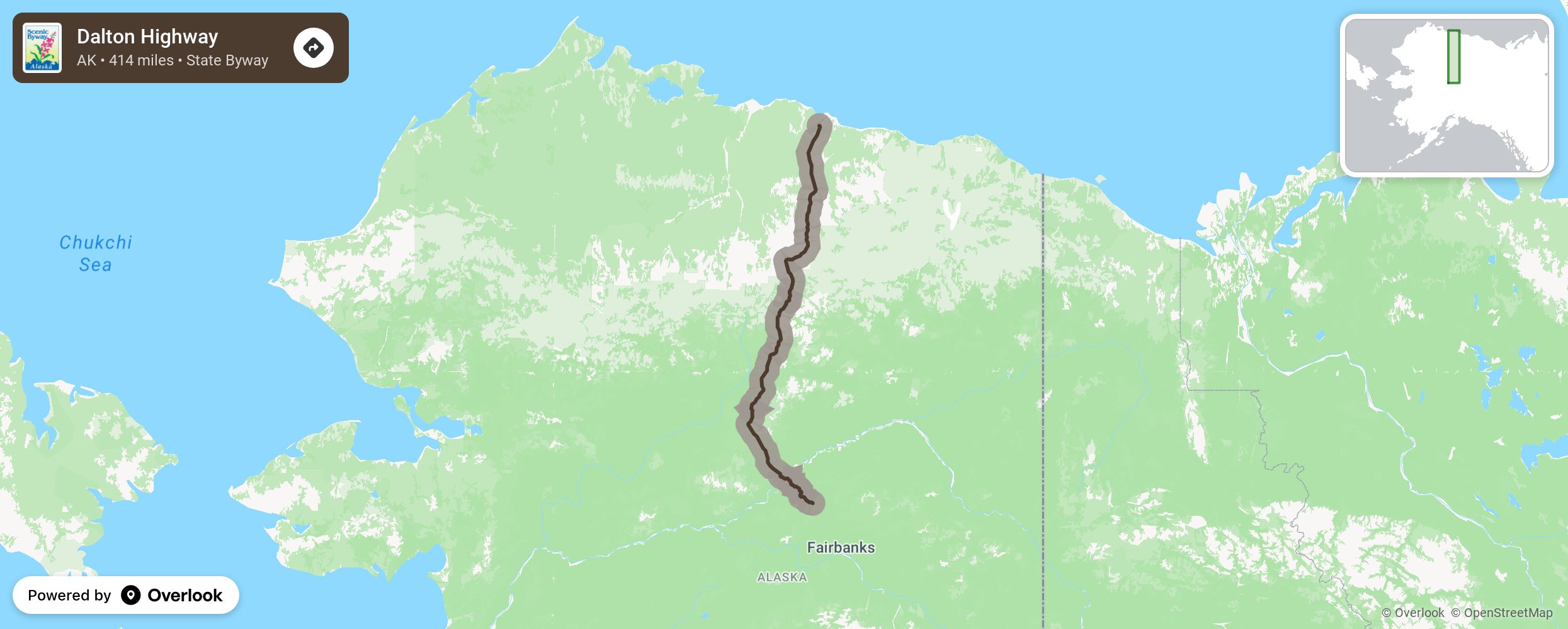
Dalton Highway

The Dalton was developed as a haul road connecting the Yukon River and Prudhoe Bay during construction of the Trans-Alaska Pipeline. Road conditions vary and the highway is mostly a gravel road with many steep inclines. Travel best suited in June-August. Watch for active gold mining, the Yukon River, and Dali Sheep on Slope Mountain. Be sure to allow time for a photo op at the Artic Circle BLM Wayside Sign where the sun doesn’t set on the summer solstice and doesn’t rise on the winter solstice. More from National Scenic Byway Foundation →
Embed this map on your site
You are welcome to add this map to your own website for free, as long as you do so using the below code snippet in its entirety.
Please get in touch with us if you have any questions!
      <iframe src="https://overlookmaps.com/byways/ak-dalton-highway"></iframe>
    <a href="https://overlookmaps.com/">Map courtesy of Overlook Maps</a>