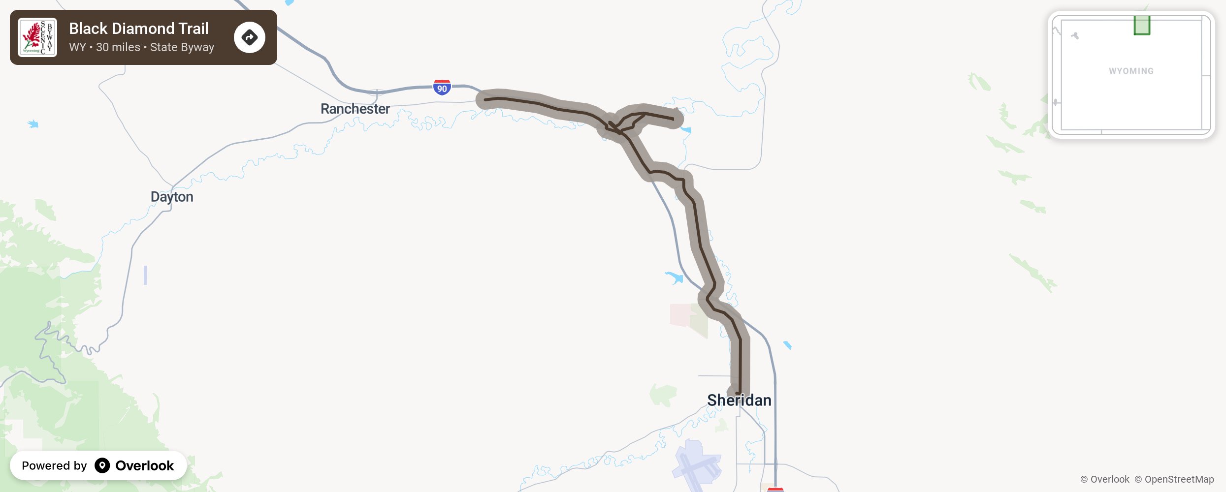
Black Diamond Trail

Coal was plentiful in 1890-1920 in the area just north of Sheridan, WY. Coal was first marketed to locals who purchased the coal and hauled it away in their own wagons. Once the railroad come through the area, the coal market opened up and coal could be shipped long distances. Experience this 30-mile trail with its highly informative interpretive signs marking the locations of the major coal camps that brought an economic boom for the area as towns and businesses sprung up to accommodate the influx of workers. More from National Scenic Byway Foundation →
Embed this map on your site
You are welcome to add this map to your own website for free, as long as you do so using the below code snippet in its entirety.
Please get in touch with us if you have any questions!
      <iframe src="https://overlookmaps.com/byways/wy-black-diamond-trail"></iframe>
    <a href="https://overlookmaps.com/">Map courtesy of Overlook Maps</a>