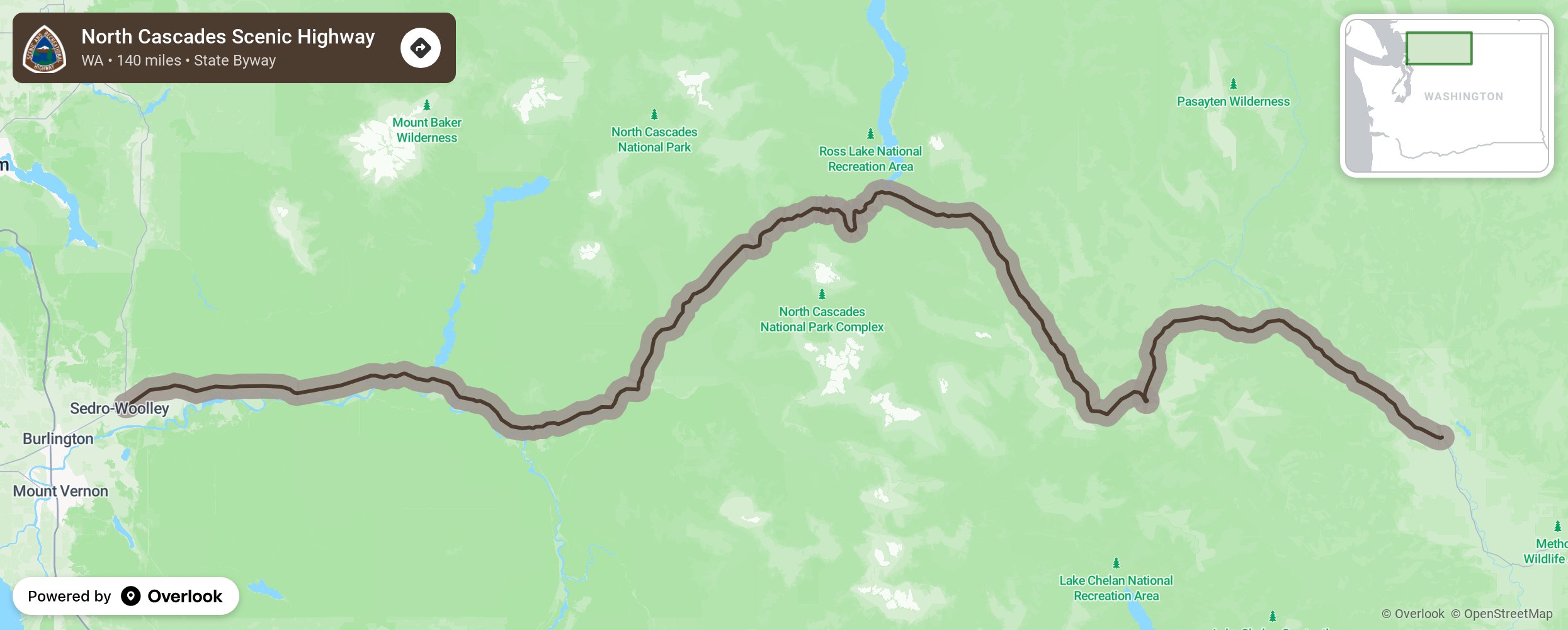
North Cascades Scenic Highway

The 140-mile North Cascades Scenic Highway is one of those roads people line up for— literally. In the spring when the road reopens, there’s a line of cars waiting to take in the craggy peaks and turquoise lakes of the state’s northernmost Cascade Mountain pass. Note the word reopens? This pass typically closes from late November to early May so check with the State Department of Transportation before hitting the road (www.wsdot.wa.gov). More from National Scenic Byway Foundation →
Embed this map on your site
You are welcome to add this map to your own website for free, as long as you do so using the below code snippet in its entirety.
Please get in touch with us if you have any questions!
      <iframe src="https://overlookmaps.com/byways/wa-north-cascades-scenic-highway"></iframe>
    <a href="https://overlookmaps.com/">Map courtesy of Overlook Maps</a>