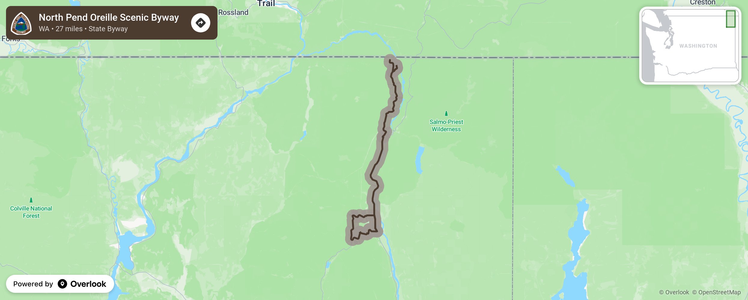
The North Pend Oreille Scenic Byway (pronounced POND-er-AY) explores the remote northeast corner of Washington State. This 27-mile byway runs from Tiger to Boundary Dam near the Canadian border and overlays a small portion of the 280-mile International Selkirk Loop.
More from National Scenic Byway Foundation →
Embed this map on your site
You are welcome to add this map to your own website for free, as long as you do so using the below code snippet in its entirety.