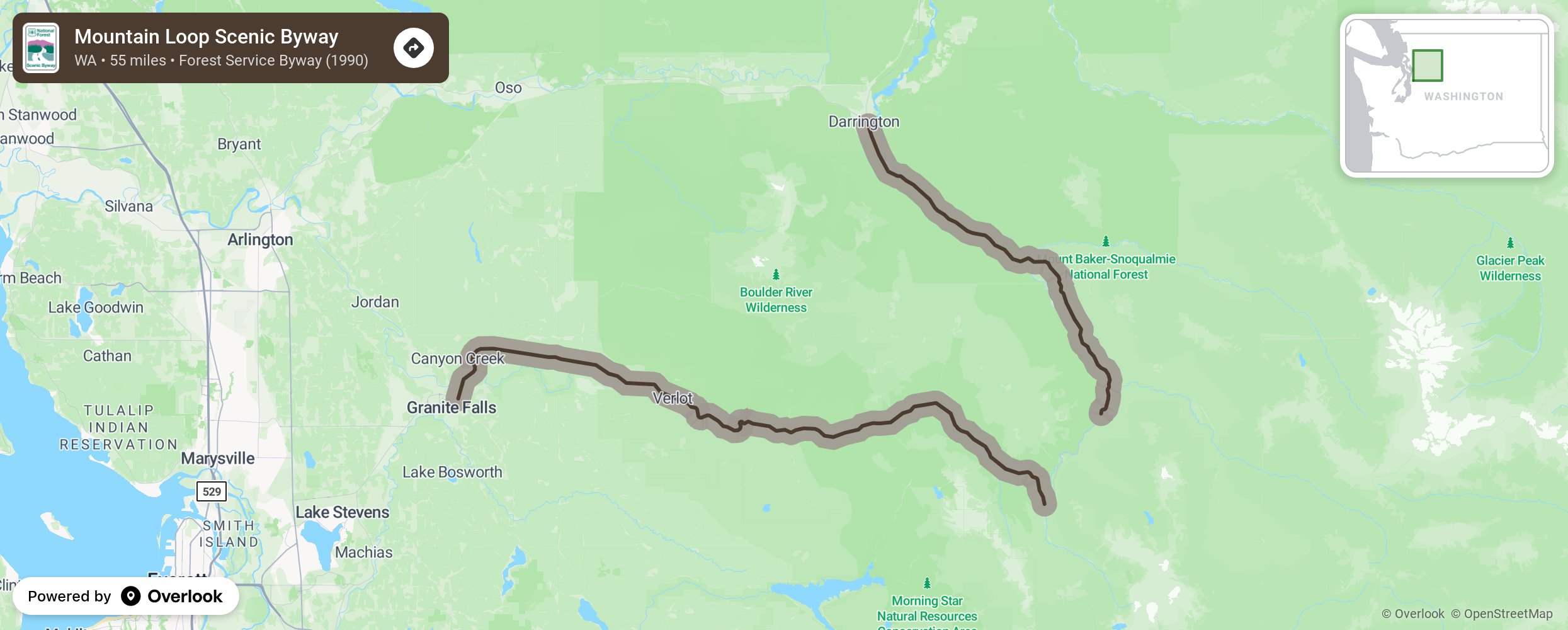
Mountain Loop Scenic Byway

Linking Darrington with Granite Falls is the Mountain Loop National Scenic Byway, which was first pioneered in 1891 by miners` dreams. Later developed as a road by loggers and members of the CCC, this road was designated a Scenic Byway in 1991. Today`s roadway passes 55 miles through boom-and-bust town sites and abandoned claims, as well as rushing rivers and glacier-clad peaks. Although the tracks are gone and the daily whistle silenced, today`s traveler can still see remnants of times gone by. More from National Scenic Byway Foundation →
Embed this map on your site
You are welcome to add this map to your own website for free, as long as you do so using the below code snippet in its entirety.
Please get in touch with us if you have any questions!
      <iframe src="https://overlookmaps.com/byways/wa-mountain-loop-scenic-byway"></iframe>
    <a href="https://overlookmaps.com/">Map courtesy of Overlook Maps</a>