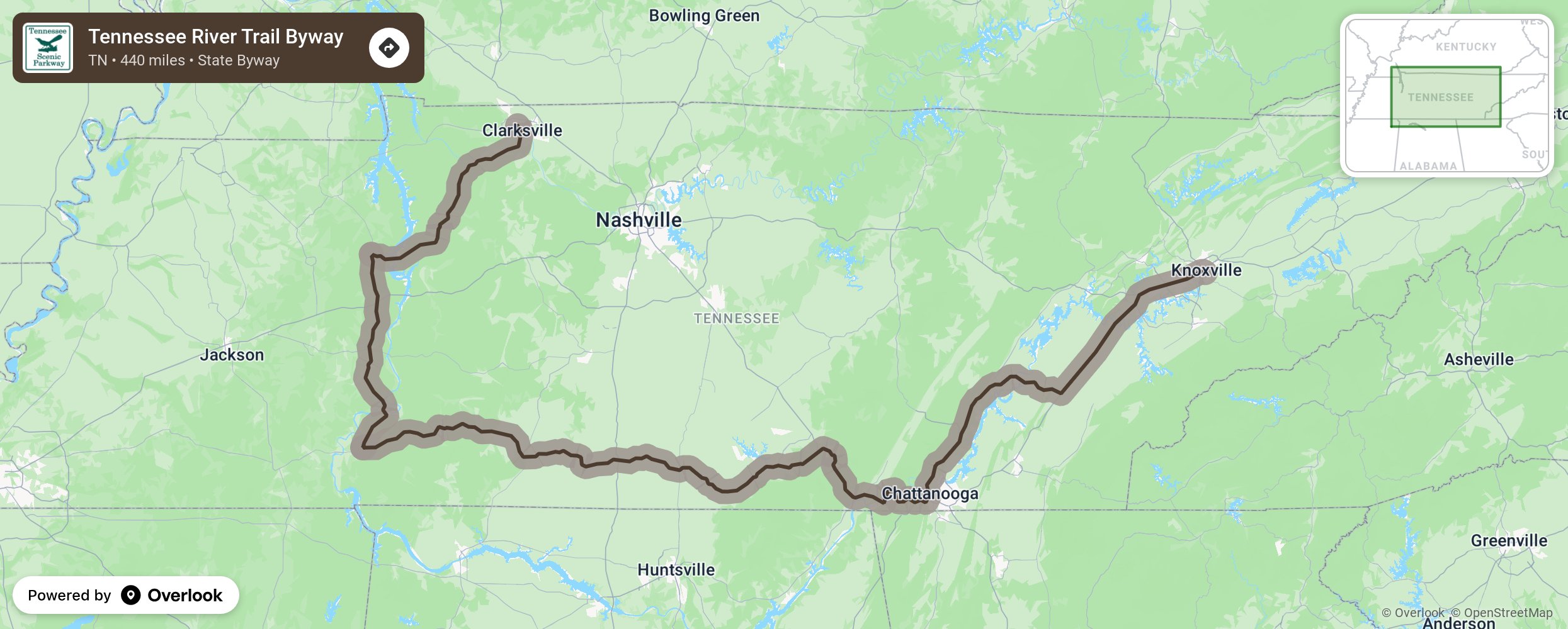
Tennessee River Trail Byway

The Tennessee River Trail is the state’s longest scenic byway, at 440 miles, and meanders along winding 2-lane roads on both banks of the Tennessee River. The route offers roadside serene views of countryside and connects visitors to the waterway in multiple locations. Significant attractions along the route include Civil War battlefields at Ft. Donelson and Shiloh, stories of the TVA and industrialization at Johnsonville State Historic Site, and the conservation at several wildlife management areas. The Tennessee River Trail also connects to the Woodlands Trace and Natchez Trace National Scenic Byways. More from National Scenic Byway Foundation →
Embed this map on your site
You are welcome to add this map to your own website for free, as long as you do so using the below code snippet in its entirety.
Please get in touch with us if you have any questions!
      <iframe src="https://overlookmaps.com/byways/tn-tennessee-river-trail-byway"></iframe>
    <a href="https://overlookmaps.com/">Map courtesy of Overlook Maps</a>