Walton Road

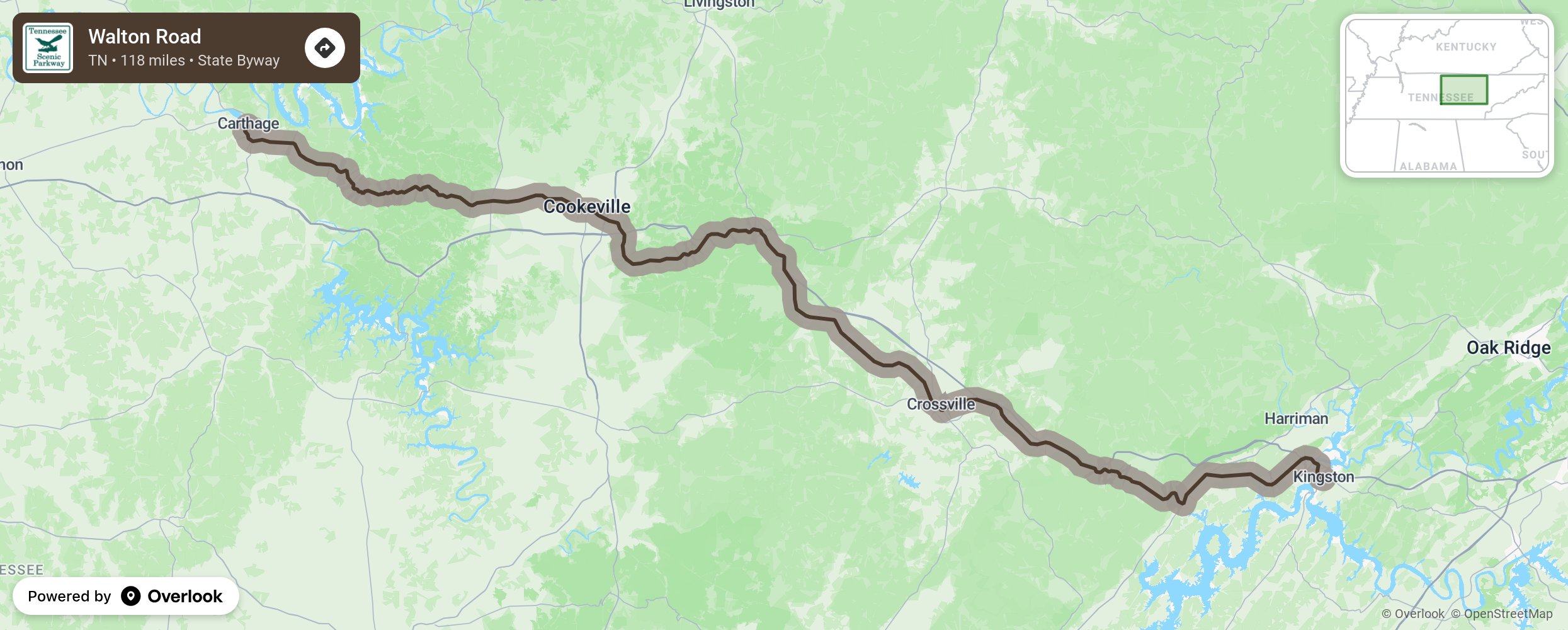
The Walton Road tells the story of the pioneer era and frontier settlement of Tennessee. Completed in 1801 as the Cumberland Turnpike and later named for its builder, Captain William Walton of Carthage, the route followed what is today U.S. Highway 70 through 4 counties of the Cumberland Plateau. While travelling the route today, visitors can experience Sam’s Place, an African American-owned bar listed on the National Register of Historic Places for its contributions to race relations in the Upper Cumberland. Day hikers can also easily access Ozone Falls, a beautiful waterfall featured in the Disney movie Rudyard Kipling's The Jungle Book. Travelers interested in heritage tourism will want to visit Fort Southwest Point in Kingston, the eastern terminus of the Walton Road. Situated on a bluff overlooking the confluence of the Clinch and Tennessee Rivers, Fort Southwest Point is the only federal era fort in Tennessee reconstructed on its original foundation. More from National Scenic Byway Foundation →
Embed this map on your site
You are welcome to add this map to your own website for free, as long as you do so using the below code snippet in its entirety.
Please get in touch with us if you have any questions!
      <iframe src="https://overlookmaps.com/byways/tn-walton-road"></iframe>
    <a href="https://overlookmaps.com/">Map courtesy of Overlook Maps</a>