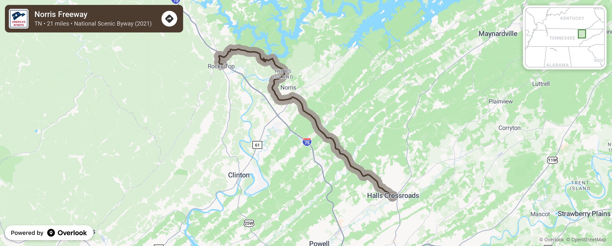
Norris Freeway

The Norris Freeway, located in eastern Tennessee, is steeped in American innovation history. The byway crosses over the Norris Dam, which was built to control the flooding in the Clinch and Powell River Watershed. The completion of the byway represented an innovation triumph as a number of issues had to be addressed: the absence of electrical service in rural areas, erosion, and landscape restoration, and a modern road leading to Knoxville, the headquarters of the Authority and a supply center for dam building materials. More from National Scenic Byway Foundation →
Embed this map on your site
You are welcome to add this map to your own website for free, as long as you do so using the below code snippet in its entirety.
Please get in touch with us if you have any questions!
      <iframe src="https://overlookmaps.com/byways/tn-norris-freeway"></iframe>
    <a href="https://overlookmaps.com/">Map courtesy of Overlook Maps</a>