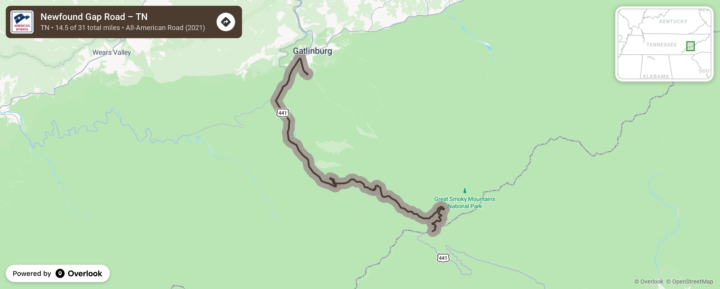
Newfound Gap Road – TN

Newfound Gap Road, also known as U.S. Highway 441, is a scenic mountain roadway that traverses the heart of Great Smoky Mountains National Park, connecting the towns of Cherokee, North Carolina, and Gatlinburg, Tennessee. This iconic road is renowned for its breathtaking views, winding curves, and access to some of the park's most popular attractions. At its highest point, Newfound Gap Road reaches an elevation of 5,046 feet (1,538 meters) at Newfound Gap, making it one of the most spectacular drives in the eastern United States. More from National Scenic Byway Foundation →
Embed this map on your site
You are welcome to add this map to your own website for free, as long as you do so using the below code snippet in its entirety.
Please get in touch with us if you have any questions!
      <iframe src="https://overlookmaps.com/byways/tn-newfound-gap-road-tn"></iframe>
    <a href="https://overlookmaps.com/">Map courtesy of Overlook Maps</a>