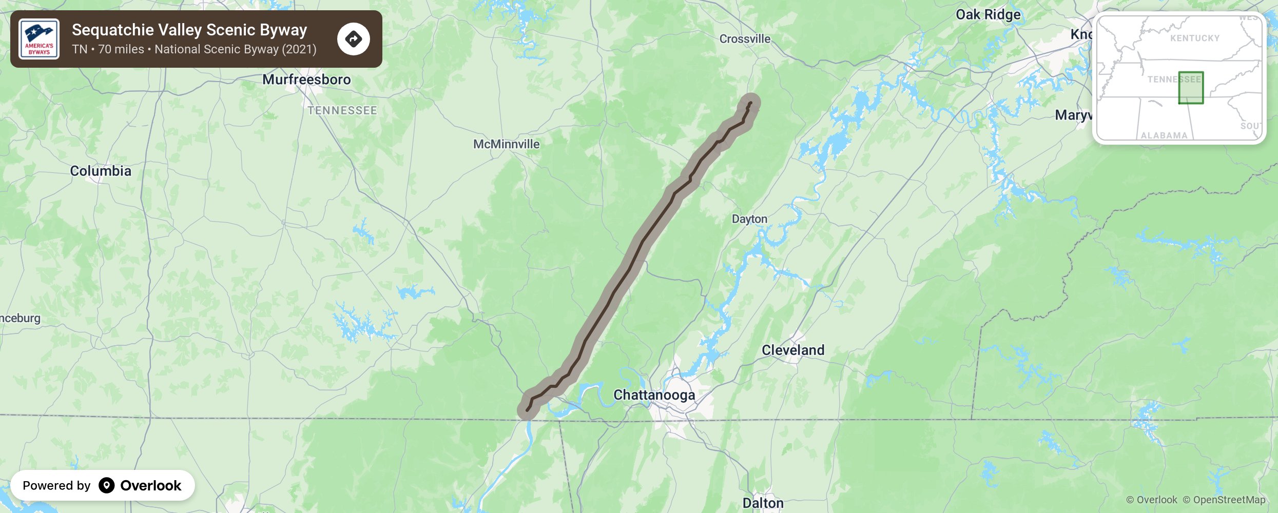
Sequatchie Valley Scenic Byway

The Sequatchie Valley Scenic Byway highlights one of Tennessee's most dramatic landscapes: rocky bluffs overlooking a narrow valley that stretches more than 70 miles from the Tennessee River in South Pittsburg, Tenn., to the Head of the Sequatchie River at Cumberland Trail State Park. The valley’s rich history includes Native American settlements, Civil War action, and railroad and coal mining industrial booms. Visit to enjoy shopping and dining in historic downtowns, farmers’ markets and festivals, as well as road cycling, paddling on the Sequatchie River, paragliding and hang gliding. More from National Scenic Byway Foundation →
Embed this map on your site
You are welcome to add this map to your own website for free, as long as you do so using the below code snippet in its entirety.
Please get in touch with us if you have any questions!
      <iframe src="https://overlookmaps.com/byways/tn-sequatchie-valley-scenic-byway"></iframe>
    <a href="https://overlookmaps.com/">Map courtesy of Overlook Maps</a>