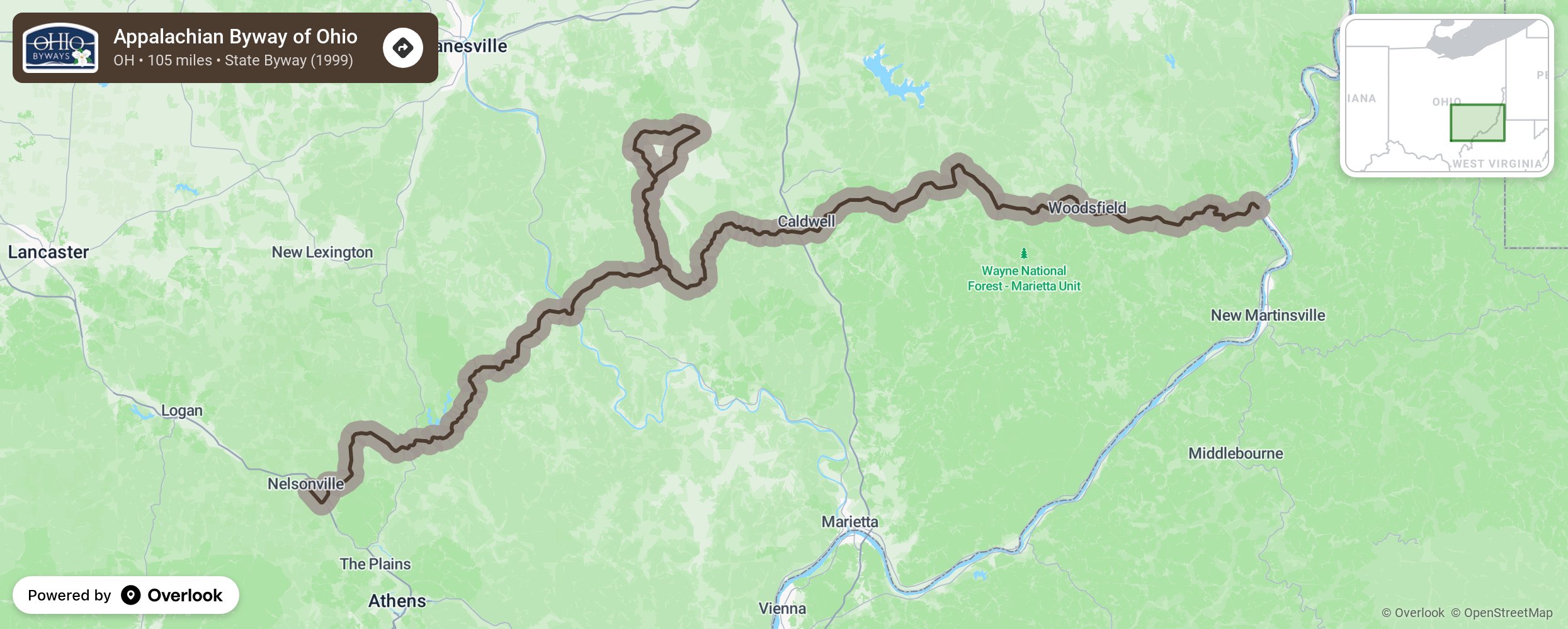
Appalachian Byway of Ohio

Enjoy the rustic beauty of southern Ohio while traveling along the foothills of the Appalachian Mountains. The 105-mile Appalachian Byway connects with Ohio River Scenic Byway with the Hannibal Locks and Dam on State Route 7 in Hannibal, Ohio and moves up to State Route 78 to cross through Monroe County into Noble County and continues along SR 78 into Morgan County ending in Nelsonville, Ohio (Athens County). Byway travelers may also enjoy a short trip north of SR 78 along SR 83 to The Wilds in Muskingum County and then travel south along SR 284 to pick up the byway again. More from National Scenic Byway Foundation →
Embed this map on your site
You are welcome to add this map to your own website for free, as long as you do so using the below code snippet in its entirety.
Please get in touch with us if you have any questions!
      <iframe src="https://overlookmaps.com/byways/oh-appalachian-byway-of-ohio"></iframe>
    <a href="https://overlookmaps.com/">Map courtesy of Overlook Maps</a>