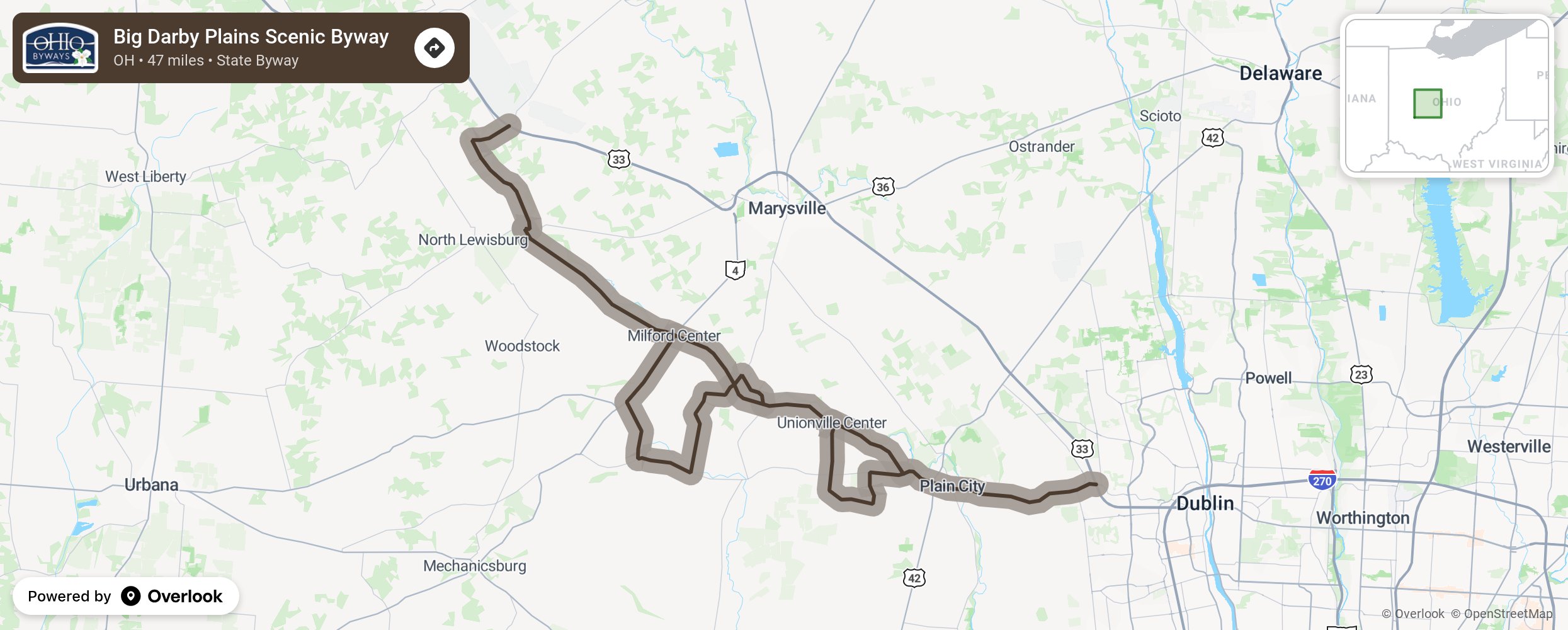
Big Darby Plains Scenic Byway

Prior to European settlement in the early 1800s, Ohio contained about a thousand square miles of prairies. These prairies, scattered around the western half of the state, varied in size from a few acres to several thousand acres. One of the largest concentration of prairies occurred in the Darby Plains. Small, but excellent remnants of this prairie ecosystem can be seen today along the Big Darby Plains Scenic Byway. The main route runs parallel to the state and nationally designated Scenic Big Darby Creek for more than 27 miles through Union, Champaign and Madison counties. The byway includes additional spurs totaling over 20 miles and features access to the scenic river, nature preserves and parks. There are also several covered and historic bridges, century farms, cemeteries and homes of interest along the routes as it passes by North Lewisburg and through Milford Center, Unionville Center and Plain City. More from National Scenic Byway Foundation →
Embed this map on your site
You are welcome to add this map to your own website for free, as long as you do so using the below code snippet in its entirety.
Please get in touch with us if you have any questions!
      <iframe src="https://overlookmaps.com/byways/oh-big-darby-plains-scenic-byway"></iframe>
    <a href="https://overlookmaps.com/">Map courtesy of Overlook Maps</a>