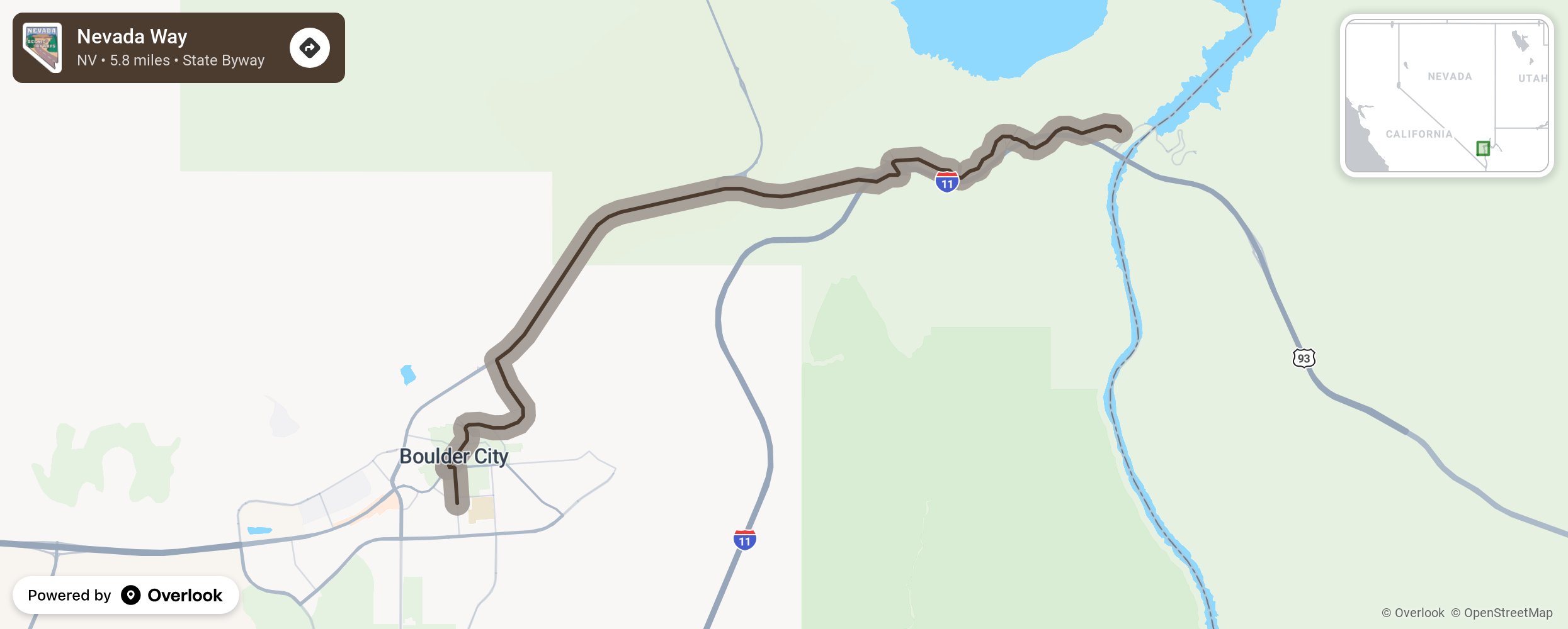
Nevada Way

Boulder City was built in 1931 by the Bureau of Reclamation and Six Companies to house the workers who were building the Hoover Dam. This community was developed to alleviate the initial rush for employment that led to tent settlements along the Boulder River. Nevada Way is a byway winding through the northern section of Boulder City from Nob Hill to Highway 93 and then to State Route 172. Make time to stop at the small shops and eateries in town and maybe spend the night in one of the many retro motels in the “Home of the Hoover Dam.” More from National Scenic Byway Foundation →
Embed this map on your site
You are welcome to add this map to your own website for free, as long as you do so using the below code snippet in its entirety.
Please get in touch with us if you have any questions!
      <iframe src="https://overlookmaps.com/byways/nv-nevada-way"></iframe>
    <a href="https://overlookmaps.com/">Map courtesy of Overlook Maps</a>