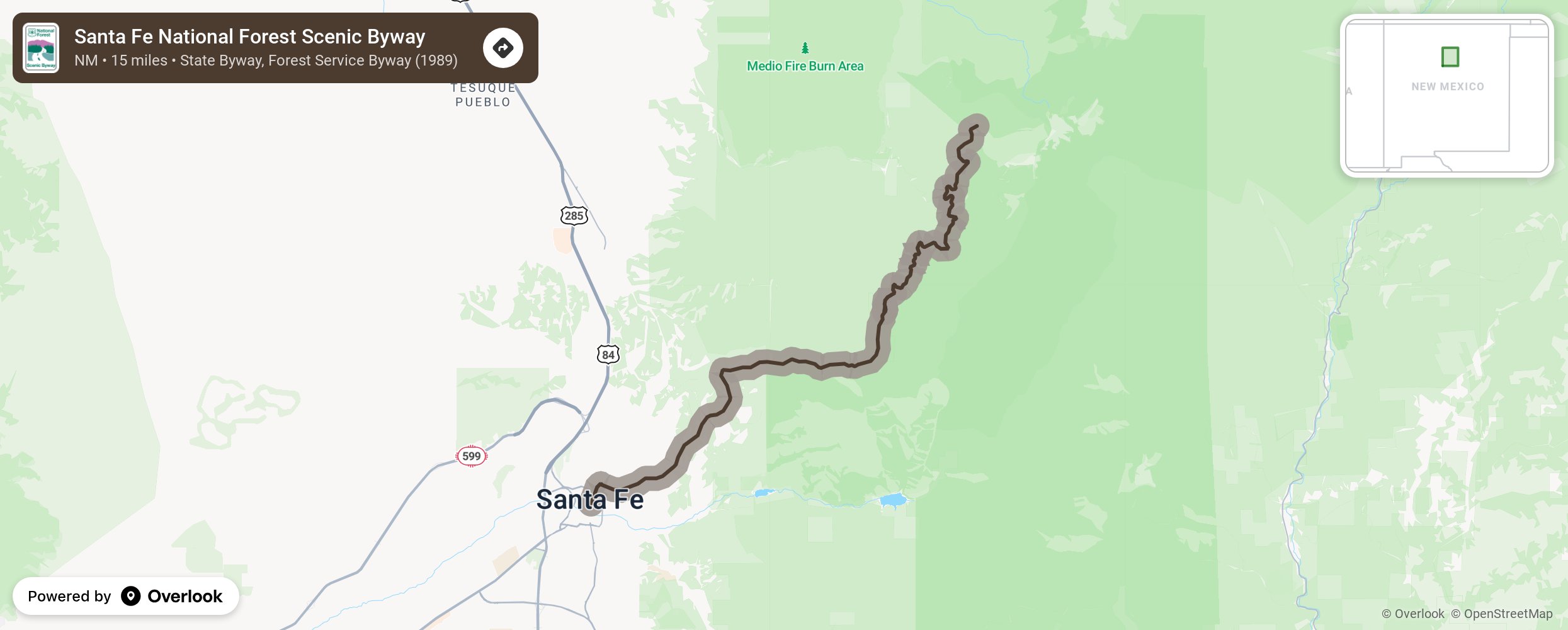
Santa Fe National Forest Scenic Byway

The Santa Fe National Forest Scenic Byway is located in the state of New Mexico, north of Albuquerque and Santa Fe. This State Scenic Byway is 15 miles long from downtown Santa Fe to Ski Santa Fe Basin. Most of the Byway is within the Santa Fe National Forest. The Santa Fe National Forest consists of 1.6 million acres of mountains, valleys and mesas ranging from 5,000 to 13,000 feet in elevation. Find forested mountains slopes, colorful volcanic formations, deep river gorges and primitive wilderness. Thousands of cultural and archaeological sites reflect the Santa Fe National Forest's rich historical heritage and the many cultures that value this landscape. The Santa Fe National Forest manages public lands filled with natural resources and diverse wildlife. Forest management practices work to protect at-risk species like the Mexican spotted owl and New Mexican jumping mouse, protect riparian and restore critical ecosystems, and ensure forest health through safe logging practices. More from National Scenic Byway Foundation →
Embed this map on your site
You are welcome to add this map to your own website for free, as long as you do so using the below code snippet in its entirety.
Please get in touch with us if you have any questions!
      <iframe src="https://overlookmaps.com/byways/nm-santa-fe-national-forest-scenic-byway"></iframe>
    <a href="https://overlookmaps.com/">Map courtesy of Overlook Maps</a>