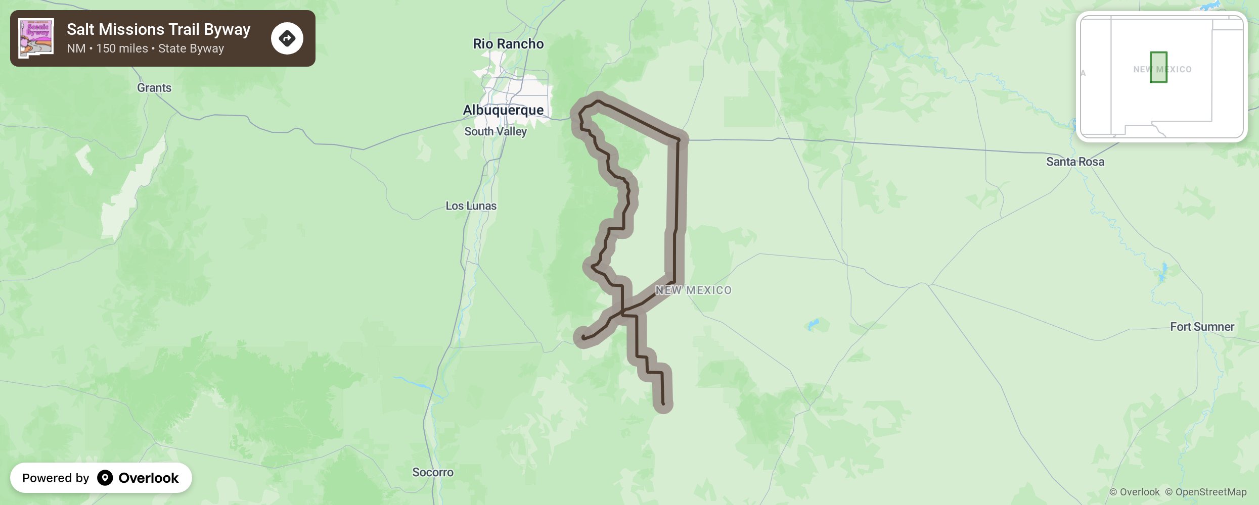
Salt Missions Trail Byway

Following old trade routes, rail beds, and footpaths this byway traverses the heart of New Mexico, from mountains in the west to plains in the east. Native Americans once walked these paths. Soon the railroad came, bringing supplies and new settlers to the area. Later, Route 66 brought the automobile and families on vacation. In the forested valleys of the Cibola National Forest, south of the Tijeras, there are many opportunities to hike, picnic, and camp such as Tunnel Canyon, Otero Canyon, Cedro Campground, and Pine Flat Picnic Area. More from National Scenic Byway Foundation →
Embed this map on your site
You are welcome to add this map to your own website for free, as long as you do so using the below code snippet in its entirety.
Please get in touch with us if you have any questions!
      <iframe src="https://overlookmaps.com/byways/nm-salt-missions-trail"></iframe>
    <a href="https://overlookmaps.com/">Map courtesy of Overlook Maps</a>