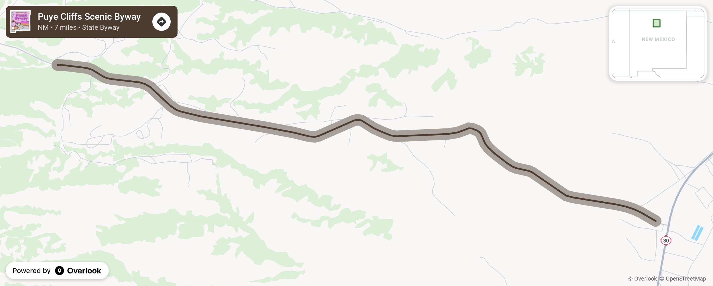
Puye Cliffs Scenic Byway

This short byway has a big surprise at the end. Starting out in rolling hills, the route climbs as the Puye Cliffs can be seen in the distance and the Jemez Mountains appear. Pulling into the parking lot of the Puye Cliff Dwellings, a National Historic Landmark, you will have the view of the ruins as early travelers did. Two buildings are at the base of the mesa, both shaped from volcanic blocks found at the site. The mesa-top pueblo is the largest ancestral native settlement on the Pajarito Plateau, once home to 1,500 people. More from National Scenic Byway Foundation →
Embed this map on your site
You are welcome to add this map to your own website for free, as long as you do so using the below code snippet in its entirety.
Please get in touch with us if you have any questions!
      <iframe src="https://overlookmaps.com/byways/nm-puye-cliffs-scenic-byway"></iframe>
    <a href="https://overlookmaps.com/">Map courtesy of Overlook Maps</a>