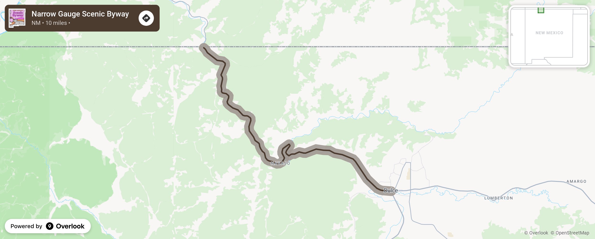
Narrow Gauge Scenic Byway

This byway began as a primitive trail shaped by early settlers and miners and in 1877, became a crude toll road. Today this remote road travels through dramatic landscapes. Interstate 9 now parallels or overlays about 10 miles of the old railroad bed from Dulce northeast to the Colorado border. A short segment of original track lies at the intersection of US 64 and I-9, now called the Narrow Gauge Street in Dulce. Northward, the road narrows and rock crops and tall pines hang over the road. This route should not be traveled in wet or very cold weather. More from National Scenic Byway Foundation →
Embed this map on your site
You are welcome to add this map to your own website for free, as long as you do so using the below code snippet in its entirety.
Please get in touch with us if you have any questions!
      <iframe src="https://overlookmaps.com/byways/nm-narrow-gauge-scenic-byway"></iframe>
    <a href="https://overlookmaps.com/">Map courtesy of Overlook Maps</a>