Enchanted Circle Scenic Byway

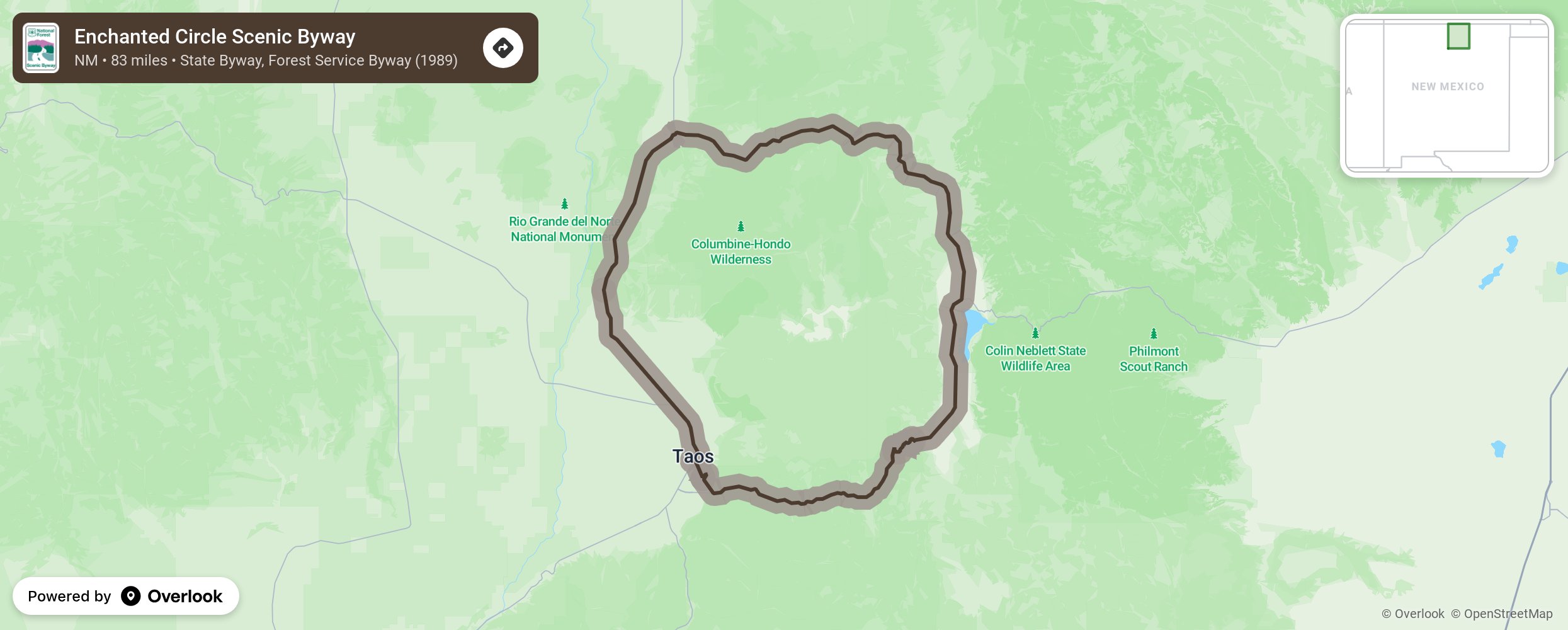
This byway starts and ends in Taos as it circles around Wheeler Peak. The oldest continuously occupied residence in New Mexico is Taos Pueblo, now with a multi-story skyline. Head north to Arroyo Hondo, growing out of an 1815 Spanish land grant and later known as home to the New Buffalo commune. Then stop at Questa, situated amongst camping and hiking places like Cabresto Lake, Mallette Canyon, and Midnight Meadows. Head east towards Red River where Elizabethtown was once settled by miners in the 1800s. The mines have since petered out, but town is still known for its high alpine scenery, fishing, skiing, and switchback roads before heading through Bobcat Pass and descending into the high alpine Moreno Valley and back to Taos on Kit Carson Road. More from National Scenic Byway Foundation →
Embed this map on your site
You are welcome to add this map to your own website for free, as long as you do so using the below code snippet in its entirety.
Please get in touch with us if you have any questions!
      <iframe src="https://overlookmaps.com/byways/nm-enchanted-circle-scenic-byway"></iframe>
    <a href="https://overlookmaps.com/">Map courtesy of Overlook Maps</a>