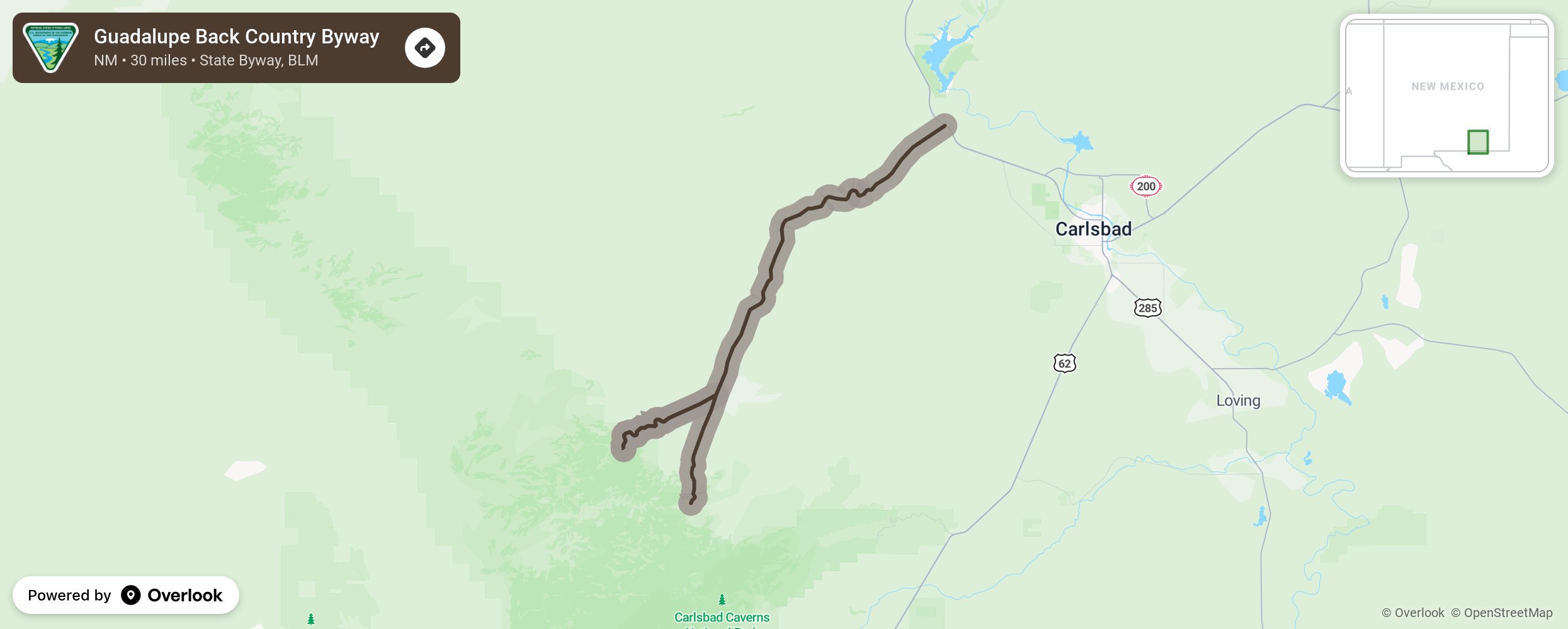
Guadalupe Back Country Byway

Twelve miles north of Carlsbad in the Chihuahuan Dessert, this byway ascends about 3,00 feet into the Guadalupe Mountains. The terrain gets rugged quickly and views include prickly pear and sotol growing out of the limestone outcroppings. Beneath the surface are caves of unlimited beauty that draw scientists and spelunkers. The Sitting Bull Recreation Area is to the south where springs feed a 200’ waterfall. The road continues through southern New Mexico and into Texas. More from National Scenic Byway Foundation →
Embed this map on your site
You are welcome to add this map to your own website for free, as long as you do so using the below code snippet in its entirety.
Please get in touch with us if you have any questions!
      <iframe src="https://overlookmaps.com/byways/nm-guadalupe-back-country-byway"></iframe>
    <a href="https://overlookmaps.com/">Map courtesy of Overlook Maps</a>