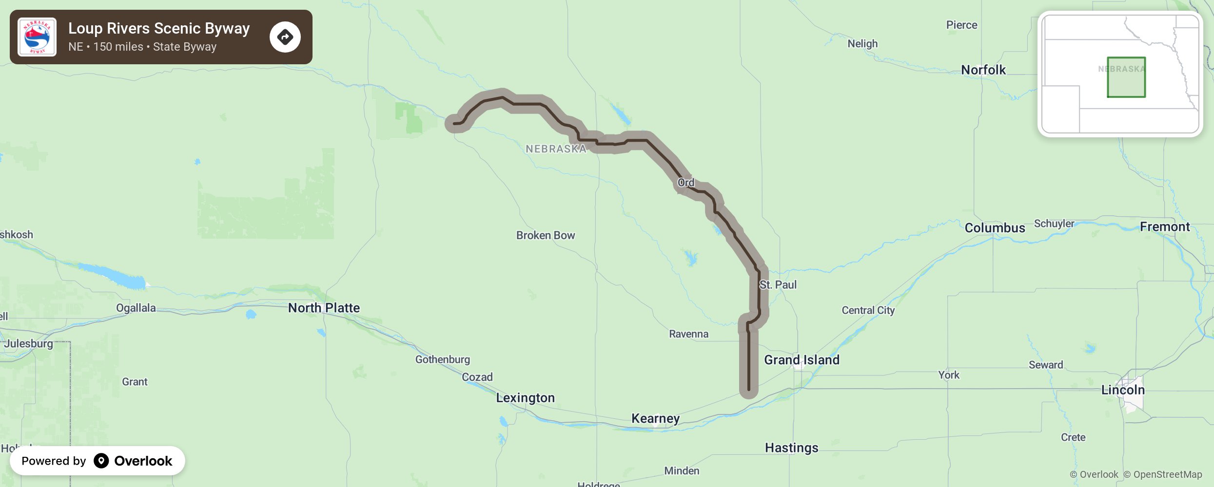
Loup Rivers Scenic Byway

Bring the camera! This byway travels through farmland dotted with red barns and silo, through the Sandhills of Nebraska. and past the Calamus River. Take State 11 and State 91 between Duning and Wood River, making stops at Fort Hartsuff State Historical Park near Elyria and the Happy Jack Peak and Chalk Mine in Scotia to see the only public accessible chalk room and pillar mine in North America with its 6,000 square feet of honeycomb caves inside. Allow time for the Calamus Reservoir State Recreation Area and rent a canoe, kayak, or tank. Nebraskans use large, round cattle water tanks for groups to float down rivers and call this activity, “tanking.” More from National Scenic Byway Foundation →
Embed this map on your site
You are welcome to add this map to your own website for free, as long as you do so using the below code snippet in its entirety.
Please get in touch with us if you have any questions!
      <iframe src="https://overlookmaps.com/byways/ne-loup-rivers-scenic-byway"></iframe>
    <a href="https://overlookmaps.com/">Map courtesy of Overlook Maps</a>