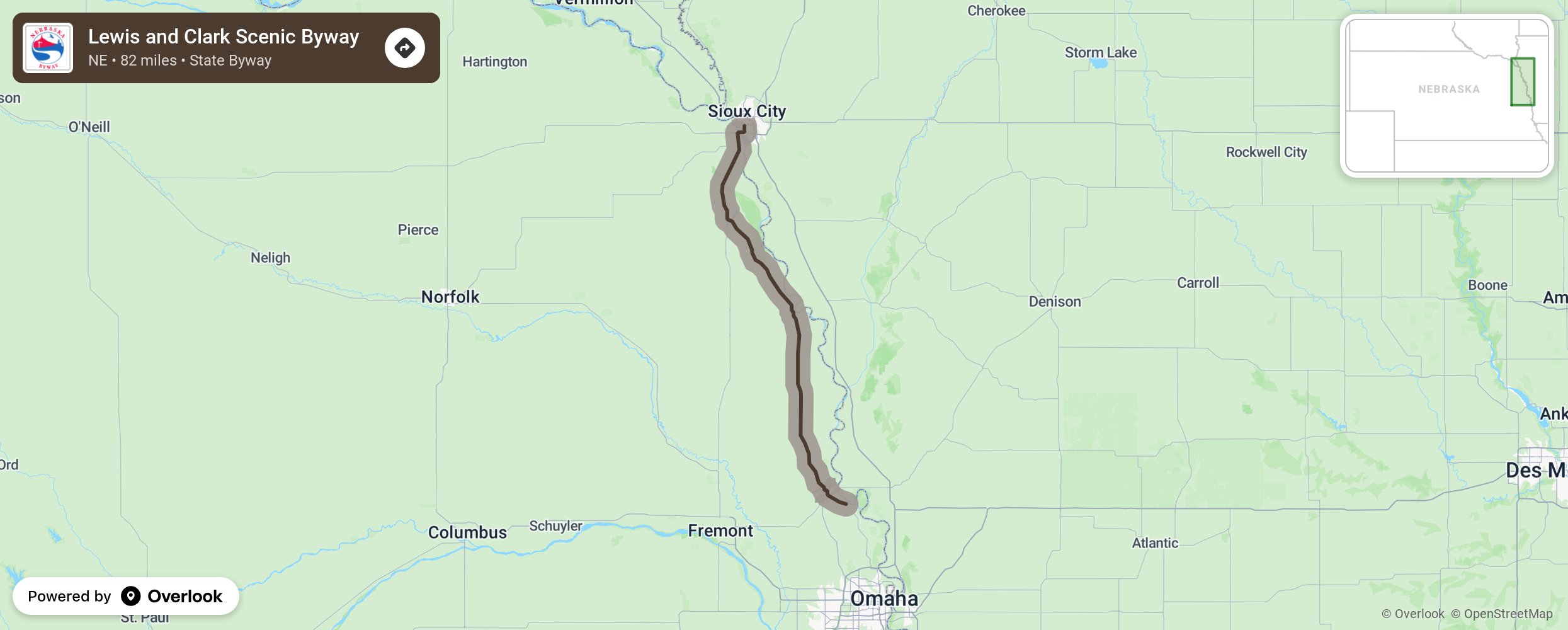
Lewis and Clark Scenic Byway

President Teddy Roosevelt commissioned the US Army and civilians to travel the new land acquired through the Louisiana Purchase in western United States. Travel this route as the Lewis and Clark Expedition did in 1803-1806 as they mapped the new lands and devised the best route to travel across the nation. Today the byway route is known as US 75 between South Sioux City and Fort Calhoun. Stop at Fort Atkinson State Historical Park, an 1820s military fort that once housed a quarter of the US Army. Visit the Winnebago Indian Reservation the last full weekend in July for the annual powwow and see the pasturelands for the bison herd. The Boyer Chute National Wildlife Refuge serves as a wetlands shelter for spring and fall migrating birds. Bring your binoculars and camera! Allow time for stops in Omaha at the Durham Museum inside the historic Union Station and at the famous Henry Doorly Zoo and Aquarium. More from National Scenic Byway Foundation →
Embed this map on your site
You are welcome to add this map to your own website for free, as long as you do so using the below code snippet in its entirety.
Please get in touch with us if you have any questions!
      <iframe src="https://overlookmaps.com/byways/ne-lewis-clark-scenic-byway"></iframe>
    <a href="https://overlookmaps.com/">Map courtesy of Overlook Maps</a>