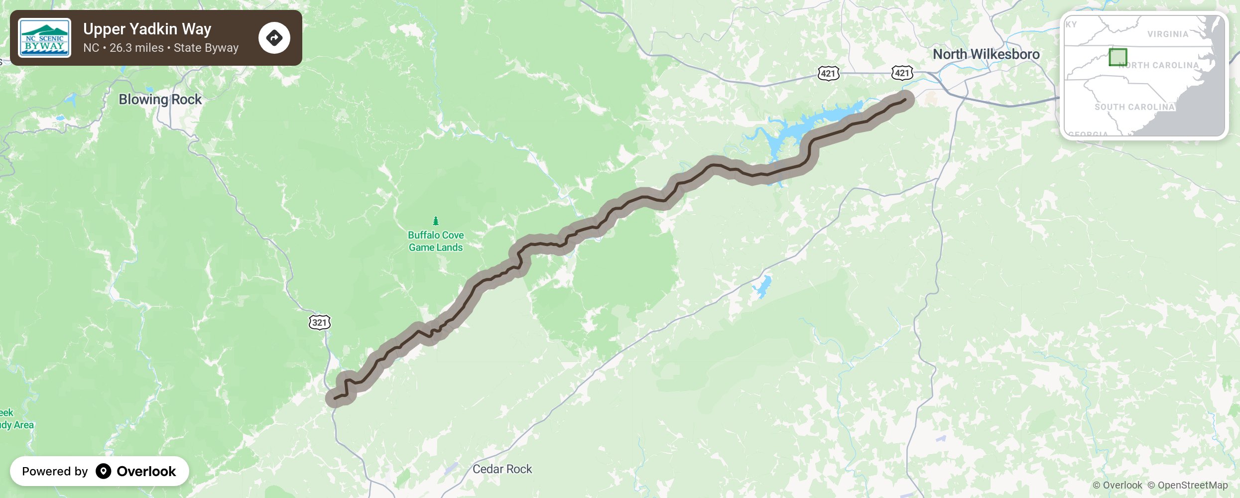
Upper Yadkin Way

The Upper Yadkin Way byway takes motorists on a scenic adventure through the state’s northern foothills. Pastures and farmland can be seen along the beginning segment of the route between Goshen and Ferguson, which follows the Yadkin River from the mountains through the foothills. The Yadkin River rises in Watauga County, near Blowing Rock, to the west and eventually becomes a part of the Pee Dee River bordering Montgomery and Stanly Counties. As you near the end of the byway, you will travel through the area known as Happy Valley, which was the site of prominent early settlers. More from National Scenic Byway Foundation →
Embed this map on your site
You are welcome to add this map to your own website for free, as long as you do so using the below code snippet in its entirety.
Please get in touch with us if you have any questions!
      <iframe src="https://overlookmaps.com/byways/nc-upper-yadkin-way"></iframe>
    <a href="https://overlookmaps.com/">Map courtesy of Overlook Maps</a>