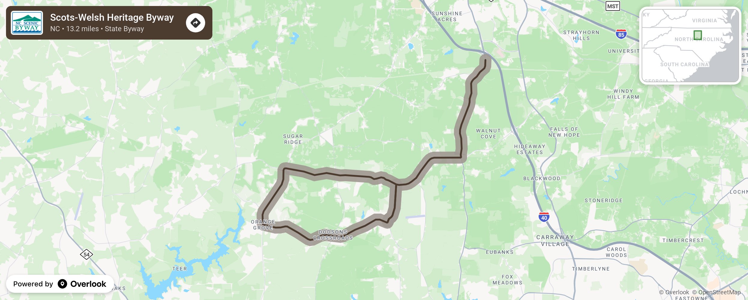
Scots-Welsh Heritage Byway

The Scots-Welsh Heritage Byway travels through Orange County along trade roads used by Native Americans and early backcountry pioneers. The king of England gave much of the land along this route to 18th-century Scotch-Welsh settlers. Generation after generation have lived and farmed this land, each leaving its own mark, making this byway a unique journey through American history. Travelers start by cruising down Old NC 86, a route that actually appears on colonial maps dating back to 1770. Not far down the road is a scenic vista of farmland known as Currie Hill, where the elevation goes from about 500 feet to more than 800 feet above sea level. The hills form a horseshoe-shaped valley near the tributary of New Hope Creek. Eventually motorists will snake their way along a gravel road through beautiful forests with rustic homesteads, log cabins, and historic farms. Many of the farms are still in use today. Keep an eye out for Cane Creek Baptist Church Cemetery, which includes a mid-1800s cemetery that is home to several Civil War soldiers’ graves. More from National Scenic Byway Foundation →
Embed this map on your site
You are welcome to add this map to your own website for free, as long as you do so using the below code snippet in its entirety.
Please get in touch with us if you have any questions!
      <iframe src="https://overlookmaps.com/byways/nc-scots-welsh-heritage-byway"></iframe>
    <a href="https://overlookmaps.com/">Map courtesy of Overlook Maps</a>